Manaslu Circuit Trek Photography
A 15 Day Photographic Journey In Nepal
Introduction
In spring 2025 I spent 3 weeks in Nepal observing and documenting the people, scenery and culture.
I wanted to find a good blend of landscape and culture, not ‘‘too touristy’ but also with enough infrastructure to have a structured route. After a detailed search, I made the decision that the Manaslu Circuit was the route for me.
The Manaslu Circuit trek: Over 15 days, you move from busy Kathmandu streets to green river valleys, then into high alpine terrain above 5,000 metres, and finally back into forest again. Along the way, you meet local communities, see how people live in the Himalayas, and spend time around monasteries and long-standing traditions that are still part of daily life.
This is the route I followed, based on a standard 15-day itinerary, and how it unfolded.
-
Day 1 – Kathmandu to Machha Khola (930m) – 8–10 hr jeep
Day 2 – Machha Khola to Jagat (1340m)
Day 3 – Jagat to Deng (1804m)
Day 4 – Deng to Serang Monastery (3100m)
Day 5 – Acclimatisation at Serang
Day 6 – Serang to Ghap (2080m)
Day 7 – Ghap to Lho (3180m)
Day 8 – Lho to Sama Gaon (3530m)
Day 9 – Hike to Manaslu Base Camp (4800m)
Day 10 – Sama Gaon to Samdo (3800m)
Day 11 – Samdo to Dharamsala (4400m)
Day 12 – Dharamsala to Bimthang via Larkya La (5140m)
Day 13 – Bimthang to Dharapani (1860m)
Day 14 – Dharapani to Besisahar (jeep)
Day 15 – Besisahar to Kathmandu (jeep)
The highest point is Larkya La at 5,140m.
Kathmandu – Before the Trek
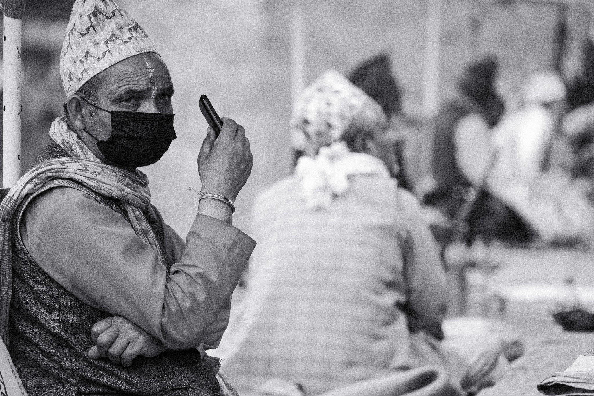
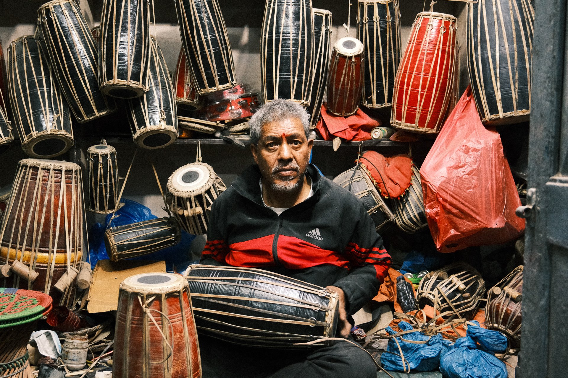
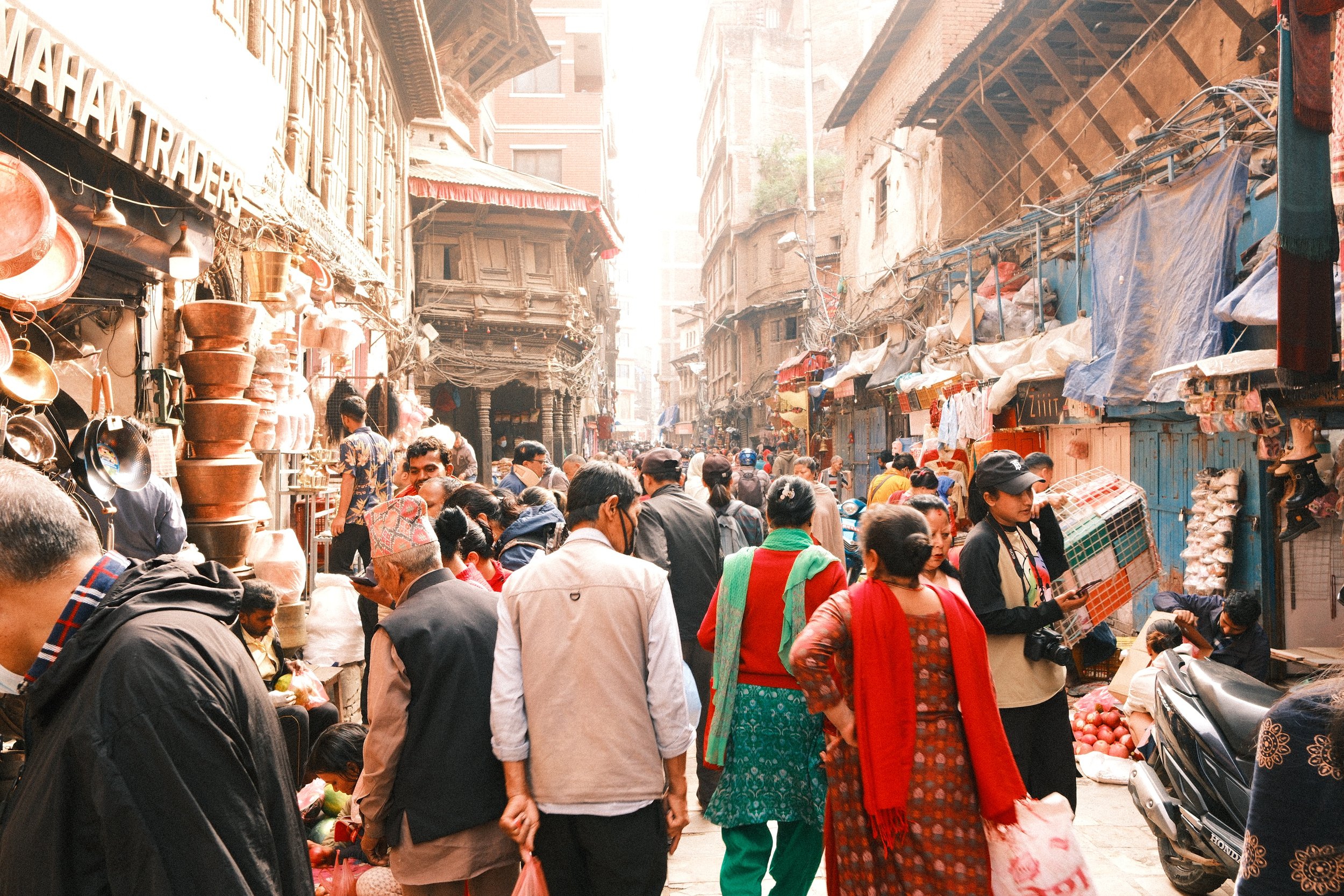
Kathmandu is chaotic but photogenic. Smoke, dust, colour, people moving constantly. I was drawn to the contrast that you experience here between the chaos and pollution, and the serene spiritual and religious energy throughout the city.
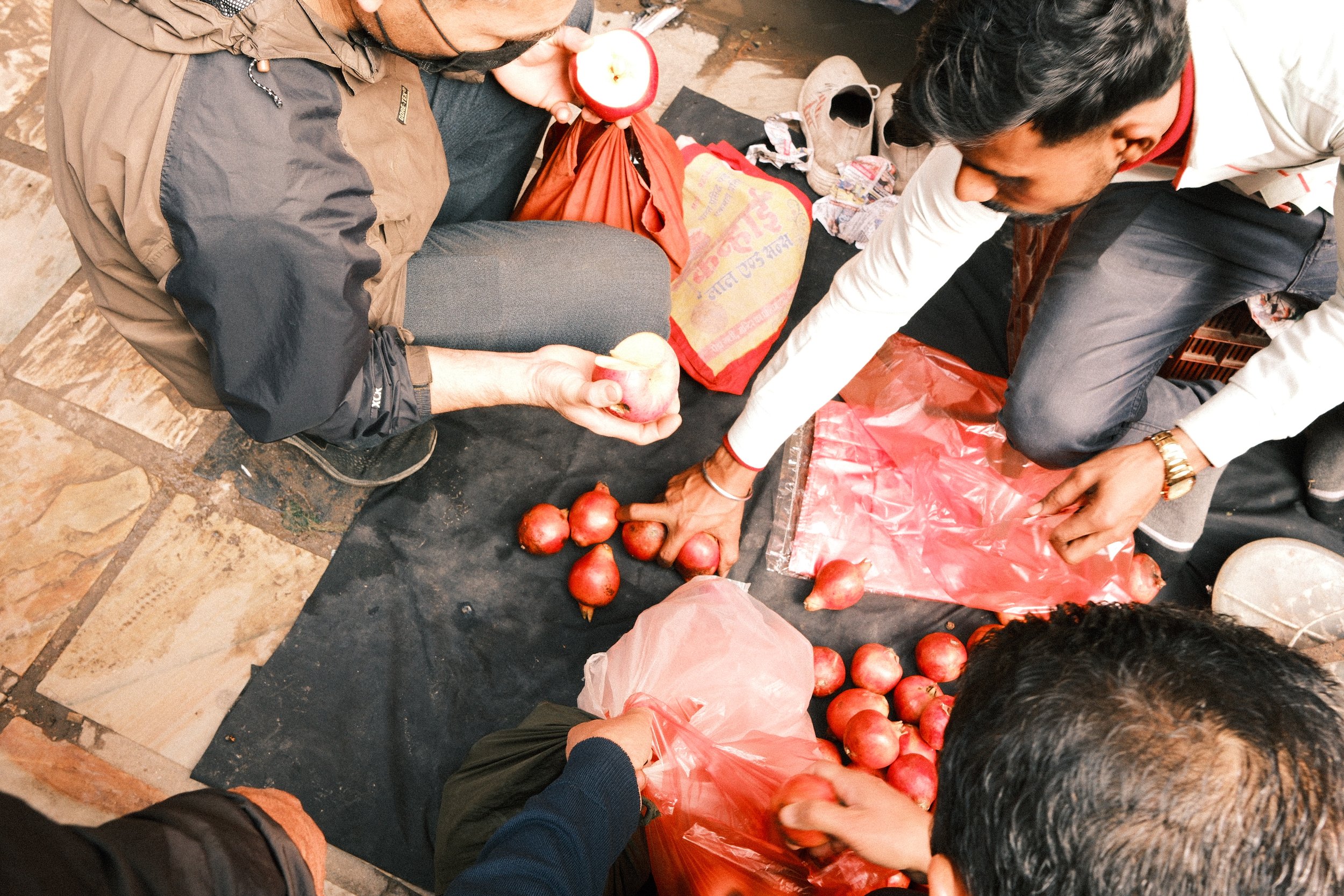
If you’re interested in Nepal photography, this is worth a few days on its own. Mornings are best, light is softer and the streets are calmer plus the active morning markets make for great street photos.
I used the Fujifilm X-T5 with a lightweight setup so I could move easily.
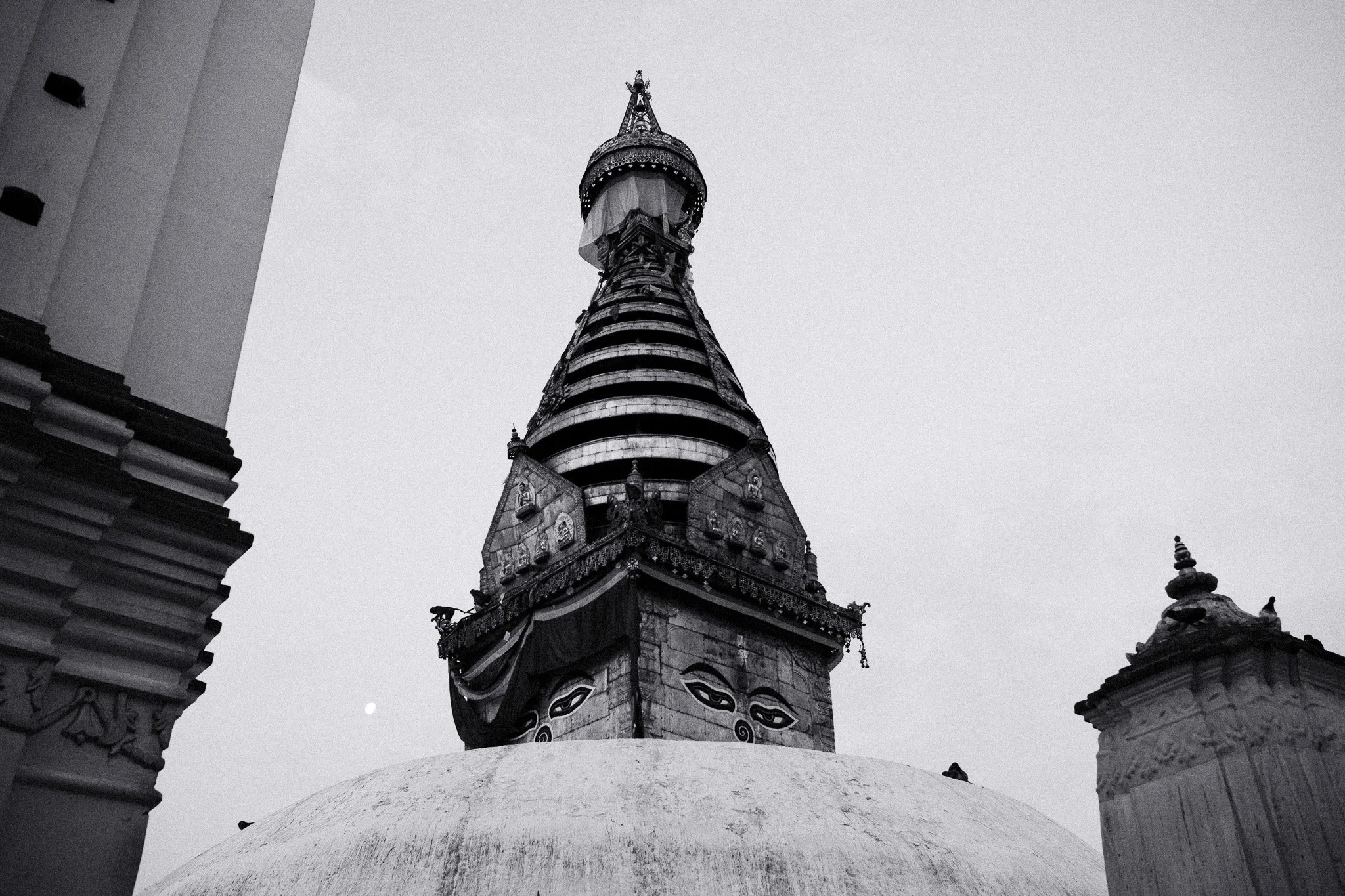
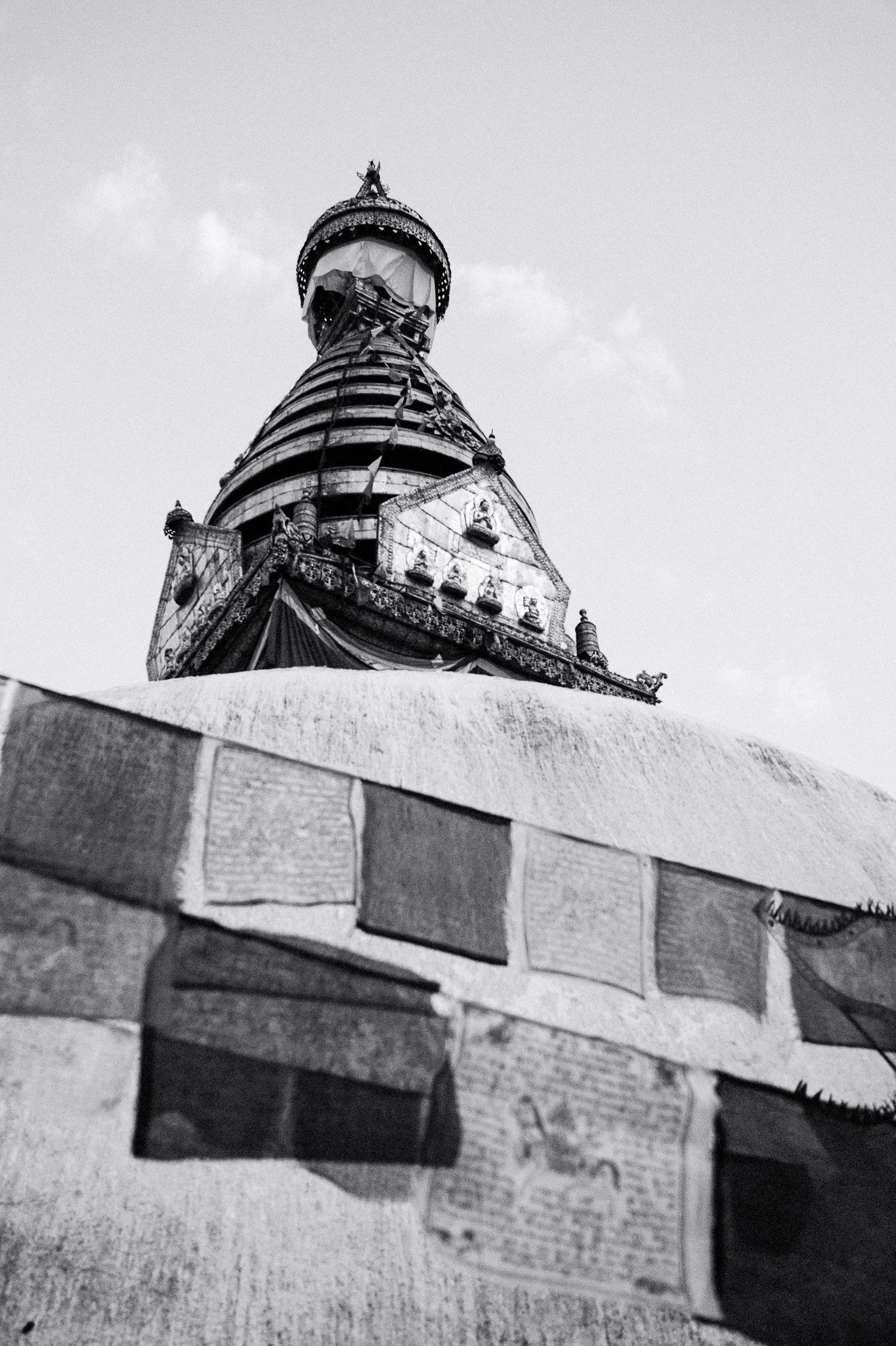
Swayambhu
I took a taxi up before sunrise and walked the final steps in the dark. By the time the light started to come through, locals were already there, circling the stupa, spinning prayer wheels, lighting butter lamps. The city woke up below while everything up there felt calm and steady.
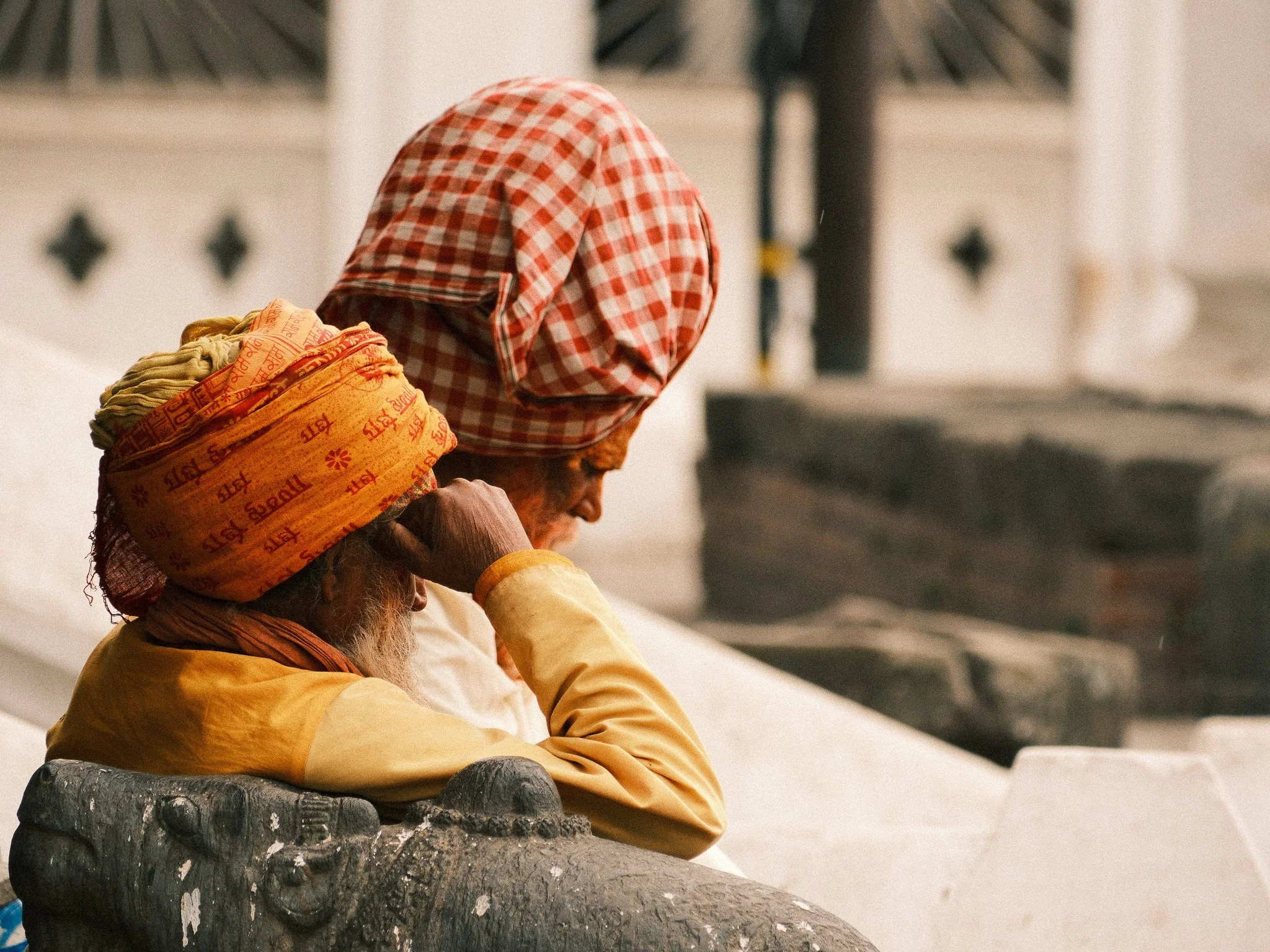
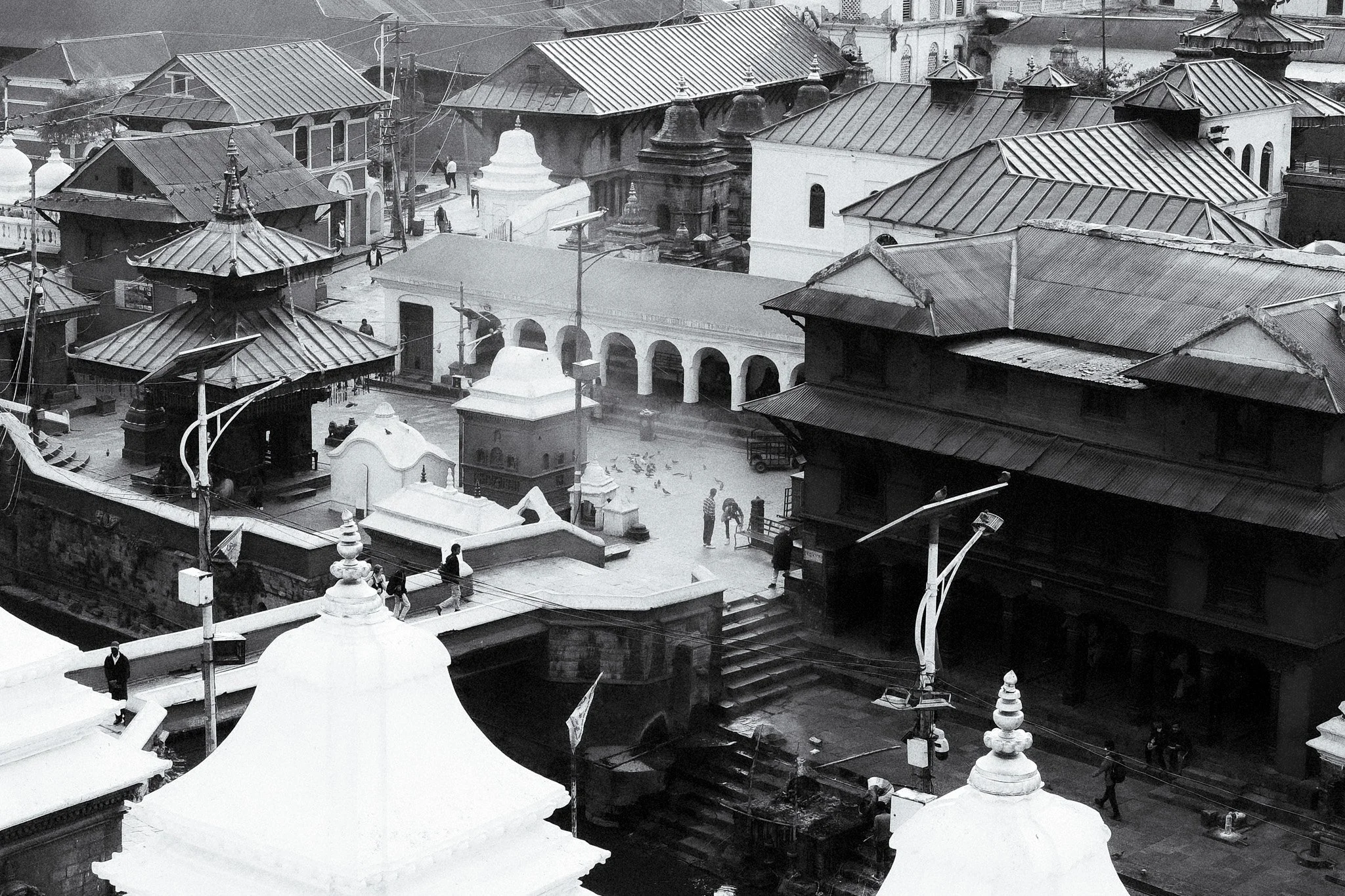
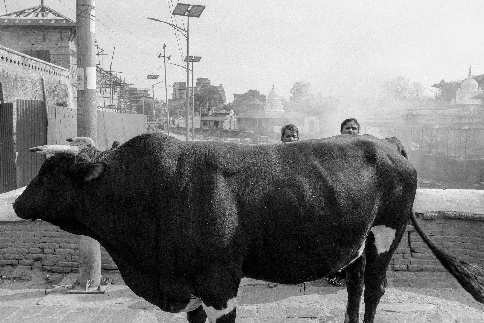
Pashupatinath
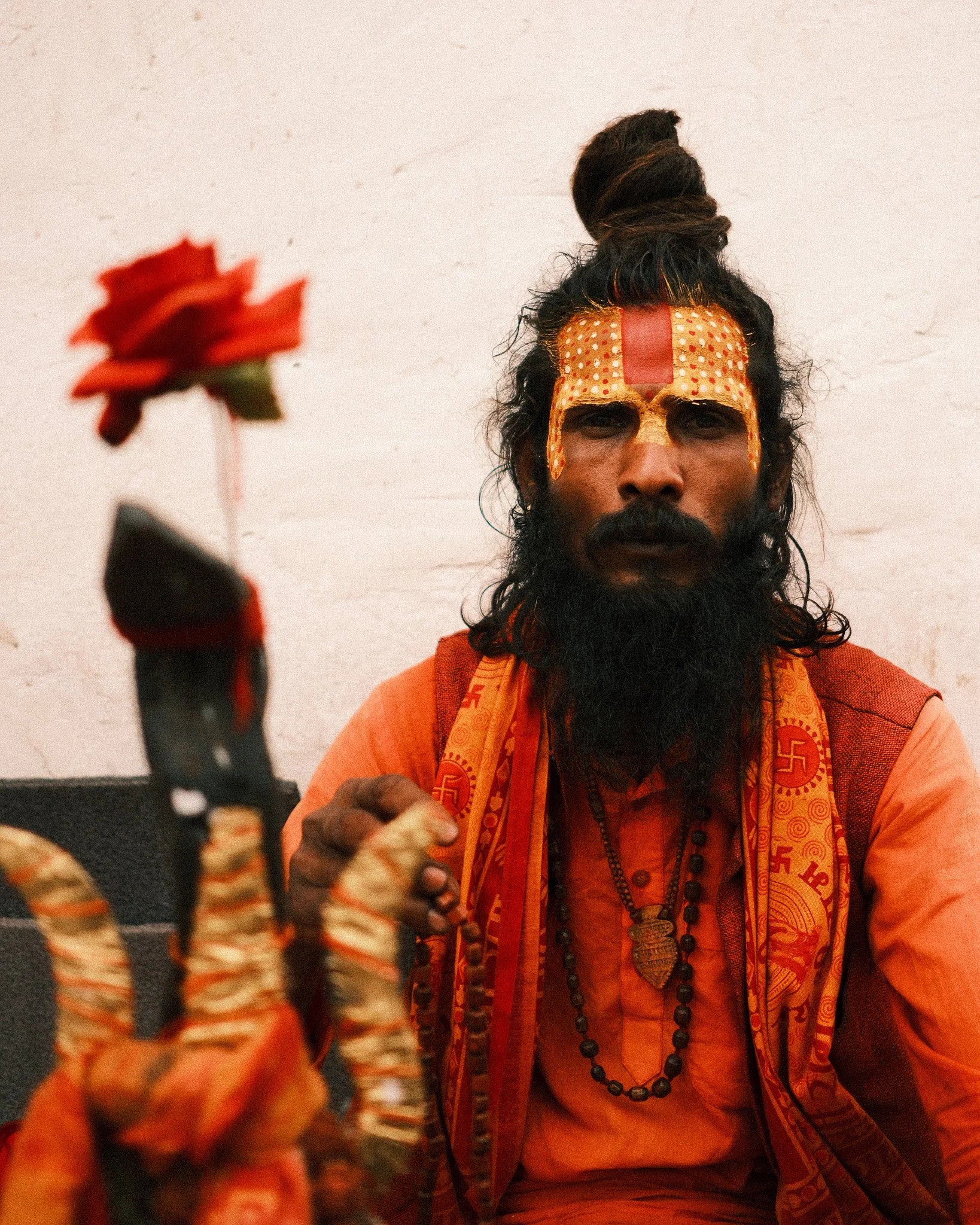
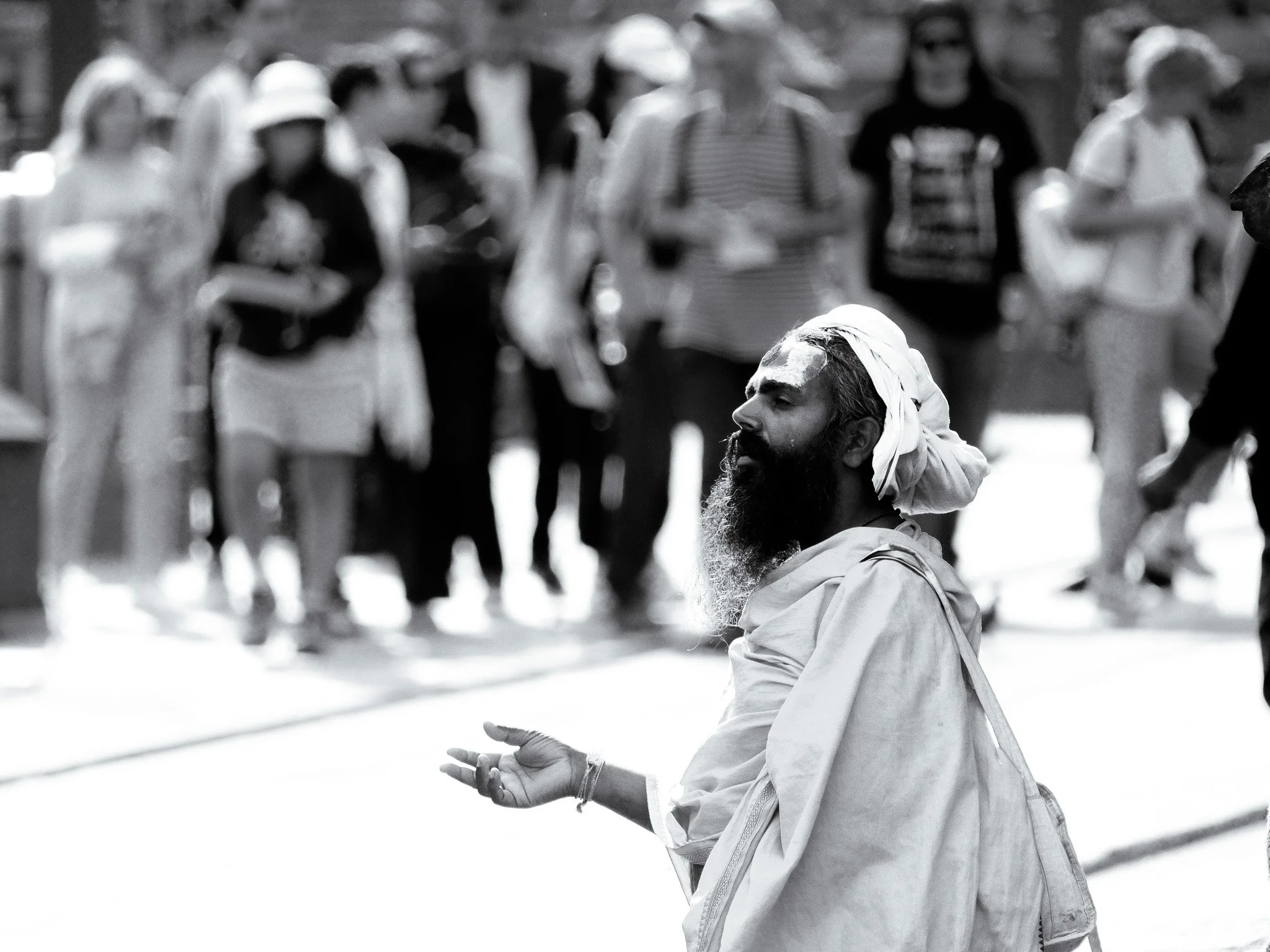
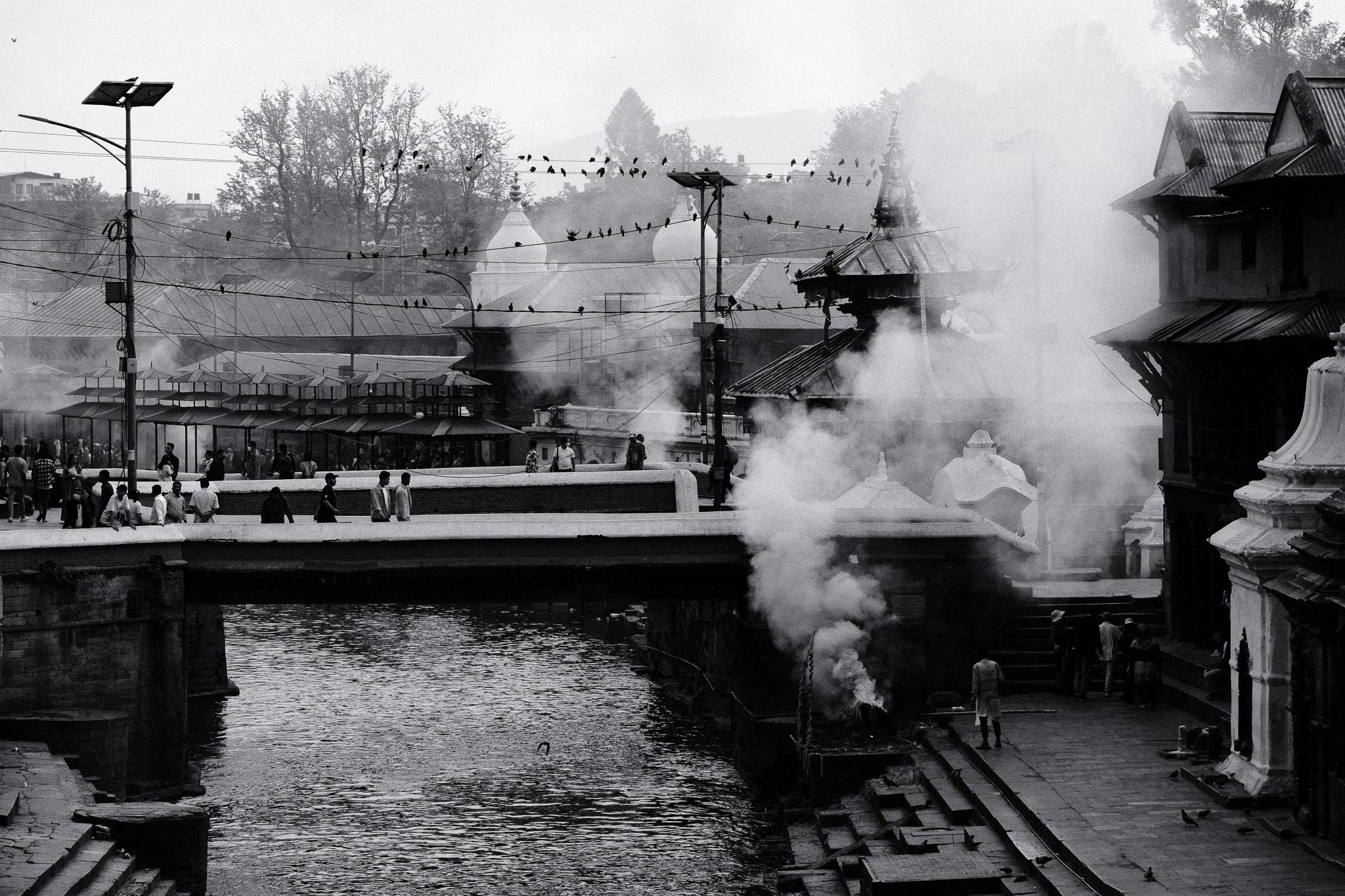
Pashupatinath brings together life, death and spirituality in one place. Funeral ceremonies take place openly along the river while pilgrims and sadhus move through the temple grounds. It’s intense, but also deeply human. You don’t need to search for meaning there. It’s right in front of you.
I booked a guide to show me around, which I highly recommend if you find a good one since there is so much info to take in about the place.
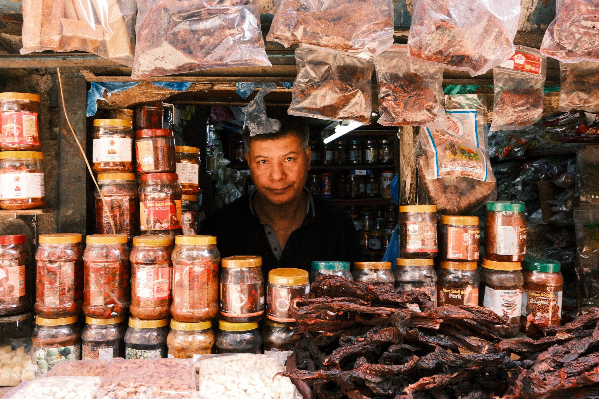
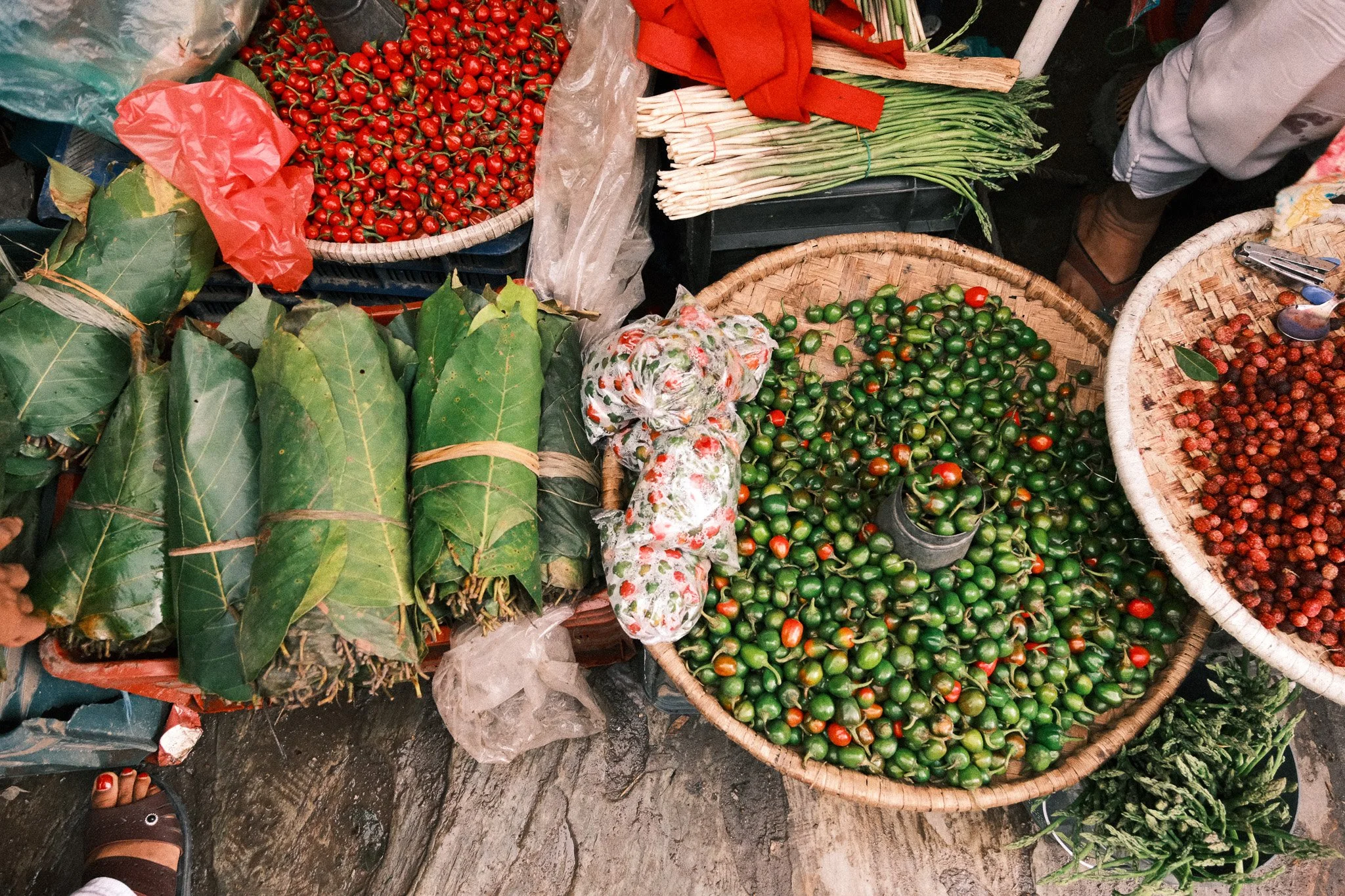
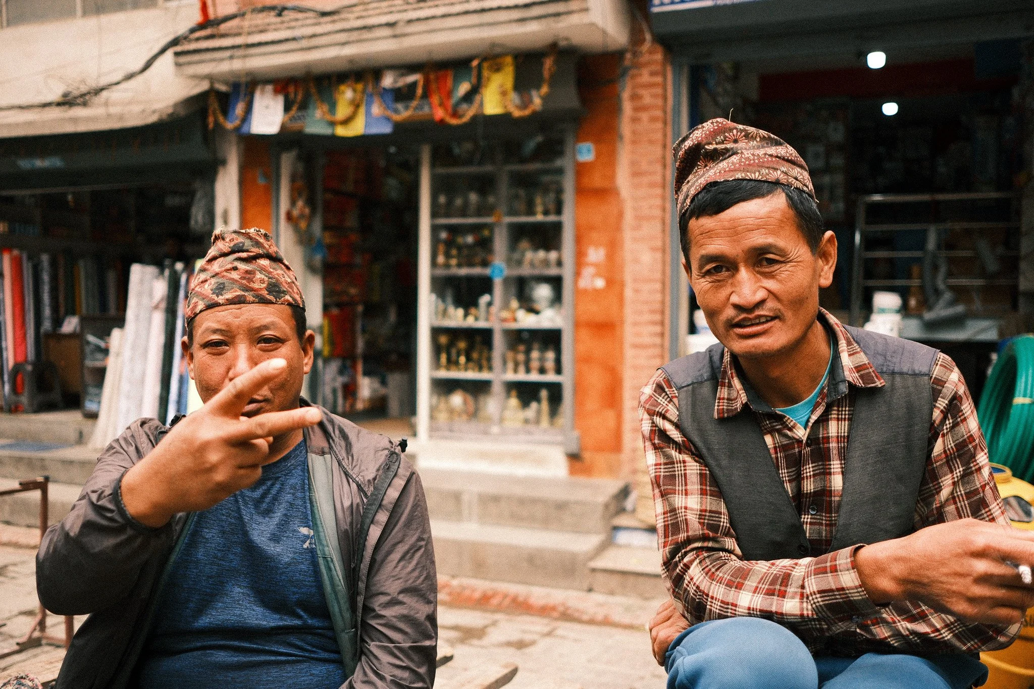
Thamel and Ason Bazaar
Thamel is the travellers’ hub. Gear shops, cafes, trekking agencies, small temples tucked between buildings. It’s busy most of the day and well into the night. It’s also practical. This is where you sort permits, buy last-minute equipment and feel the anticipation of heading into the mountains.
Ason Bazaar is also a short walk away and is busy with street vendors selling items all throughout the day.
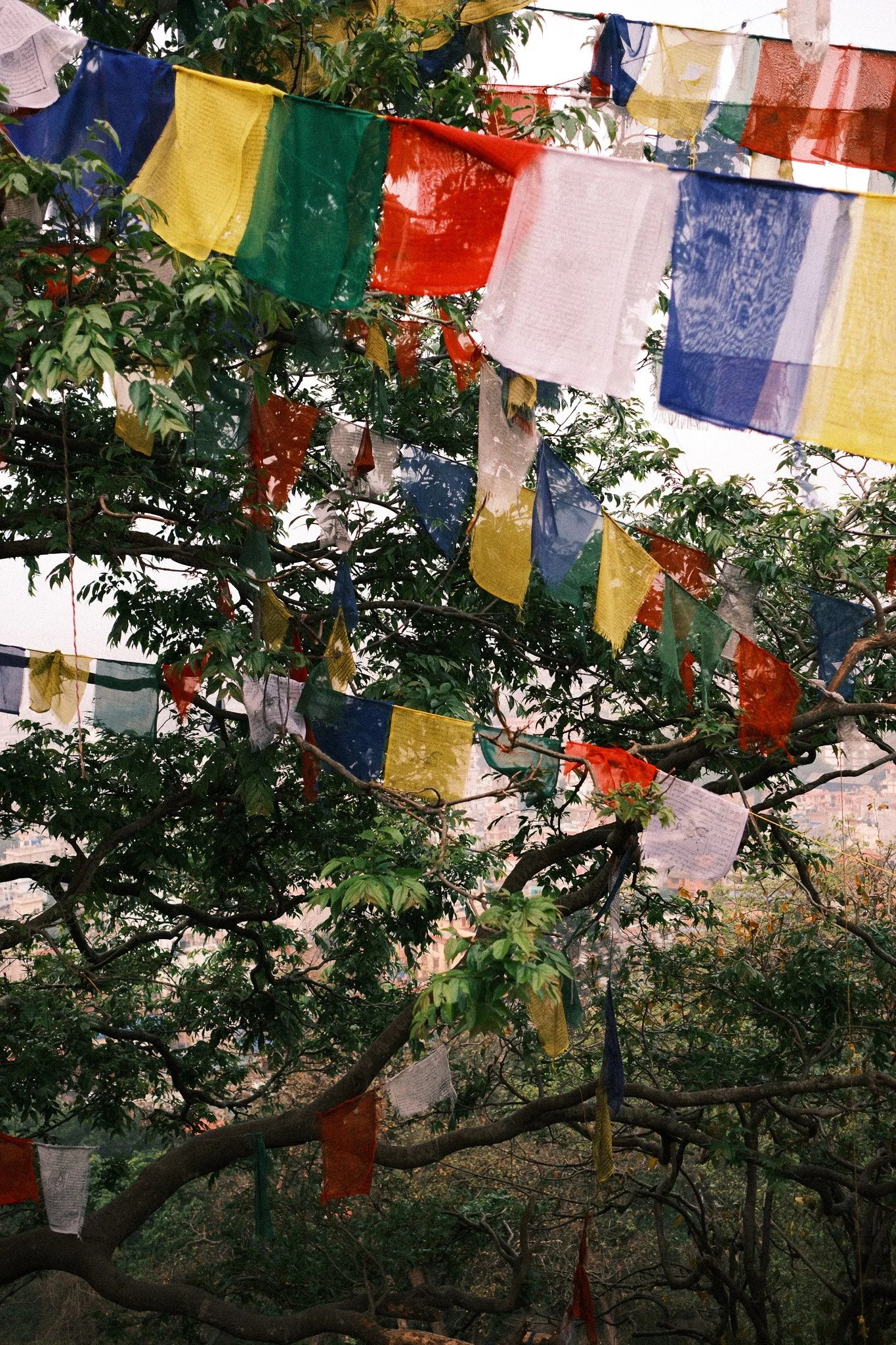
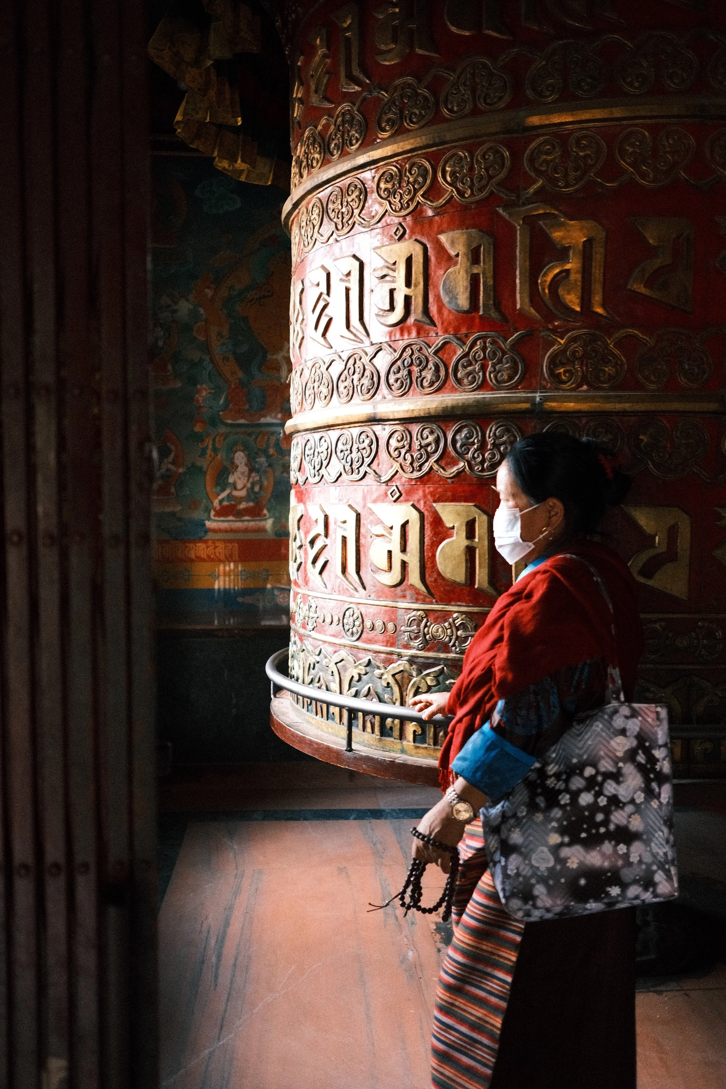
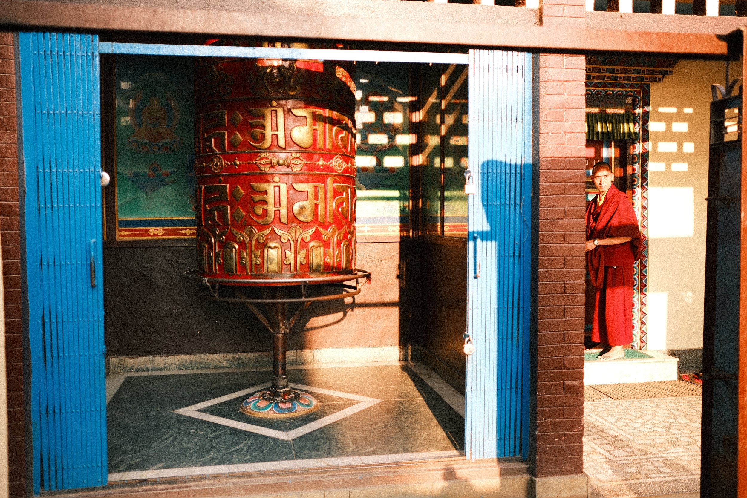
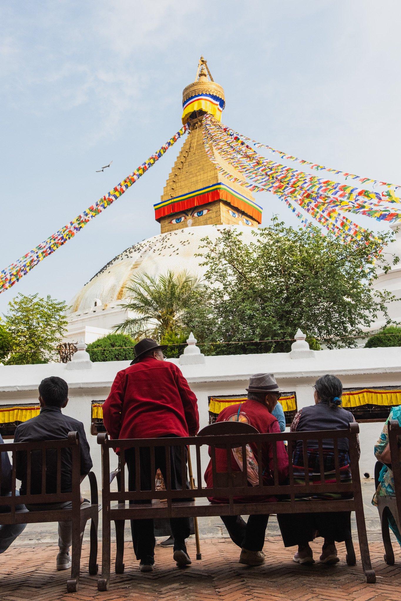
Boudhanath
Boudhanath feels slower and more contained. I joined the steady movement of people walking the kora around the stupa, one lap after another. Monks, locals, visitors. It’s repetitive in a good way. You fall into the rhythm without thinking about it.
The Trek Begins
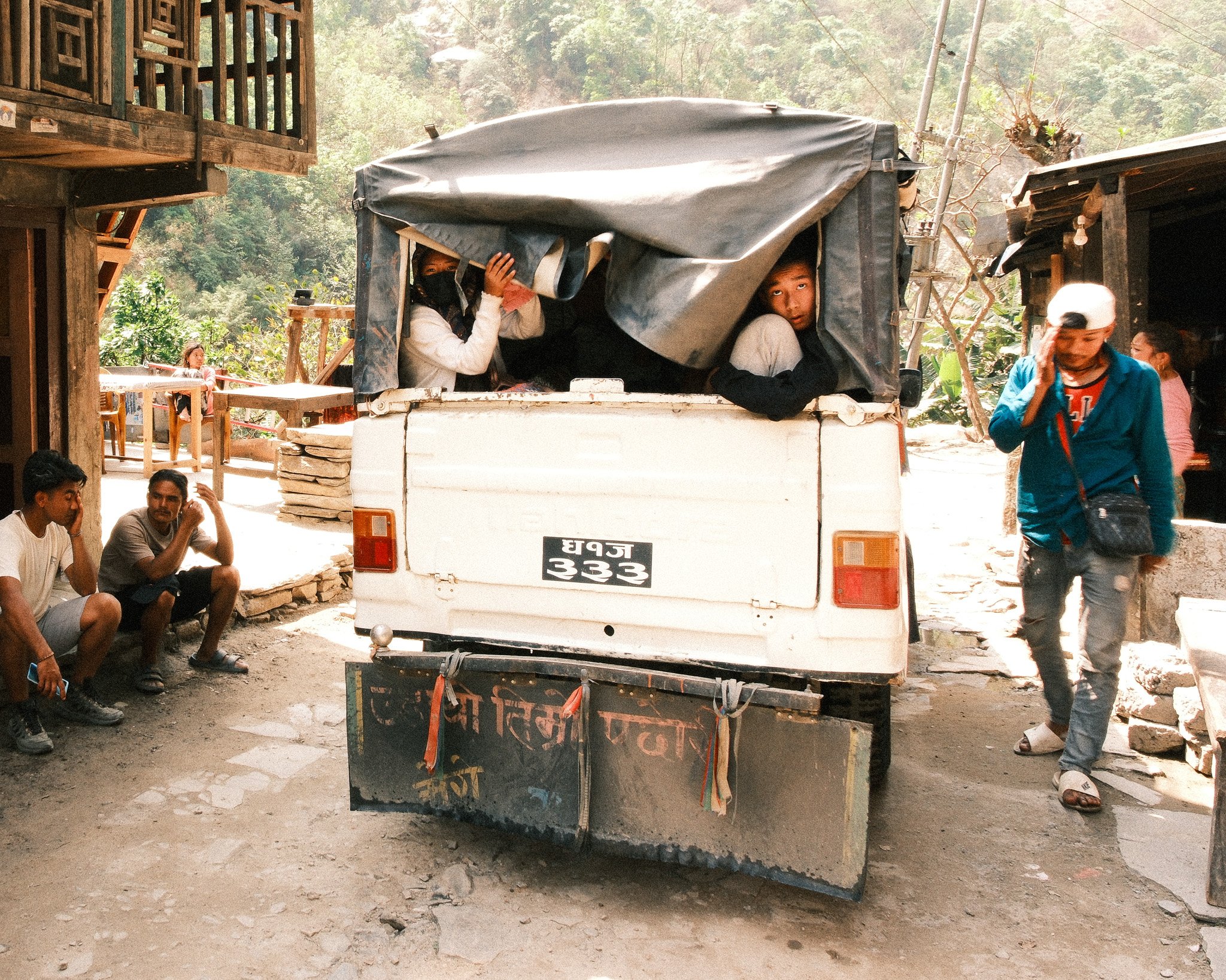
Taking The Jeep to Machha Khola
The trek officially starts after a long jeep ride from Kathmandu to Machha Khola. It takes most of the day.
The road is rough. Dusty. Narrow in places.
It’s not glamorous, but it’s part of the experience. From a photography perspective, it marks the shift from city to rural Nepal.
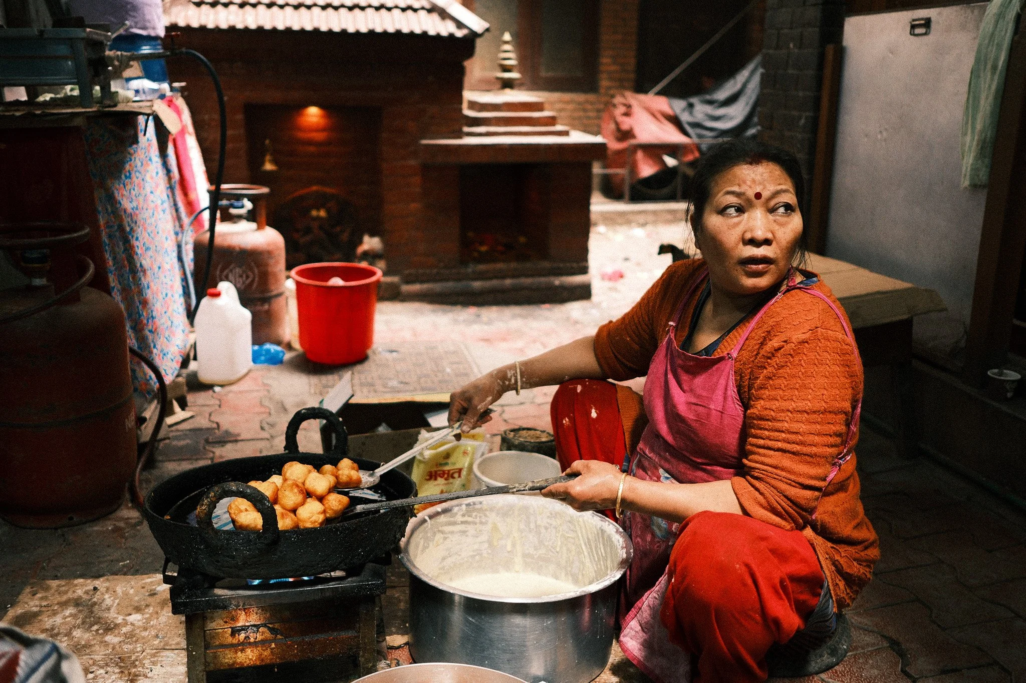
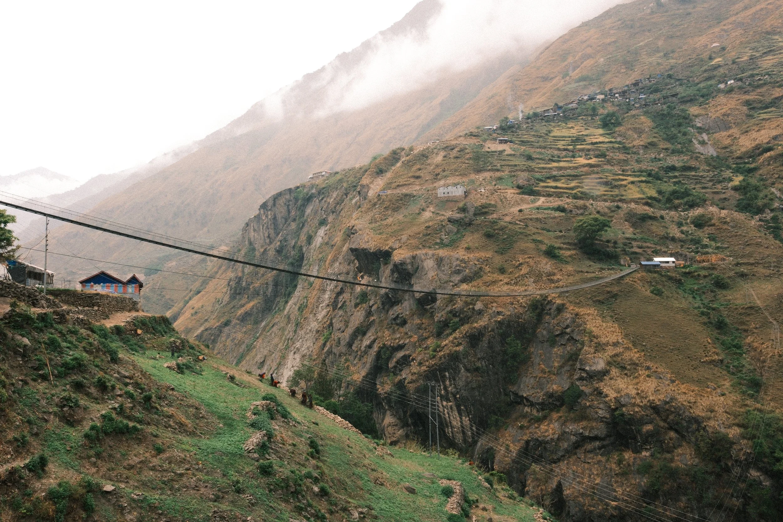
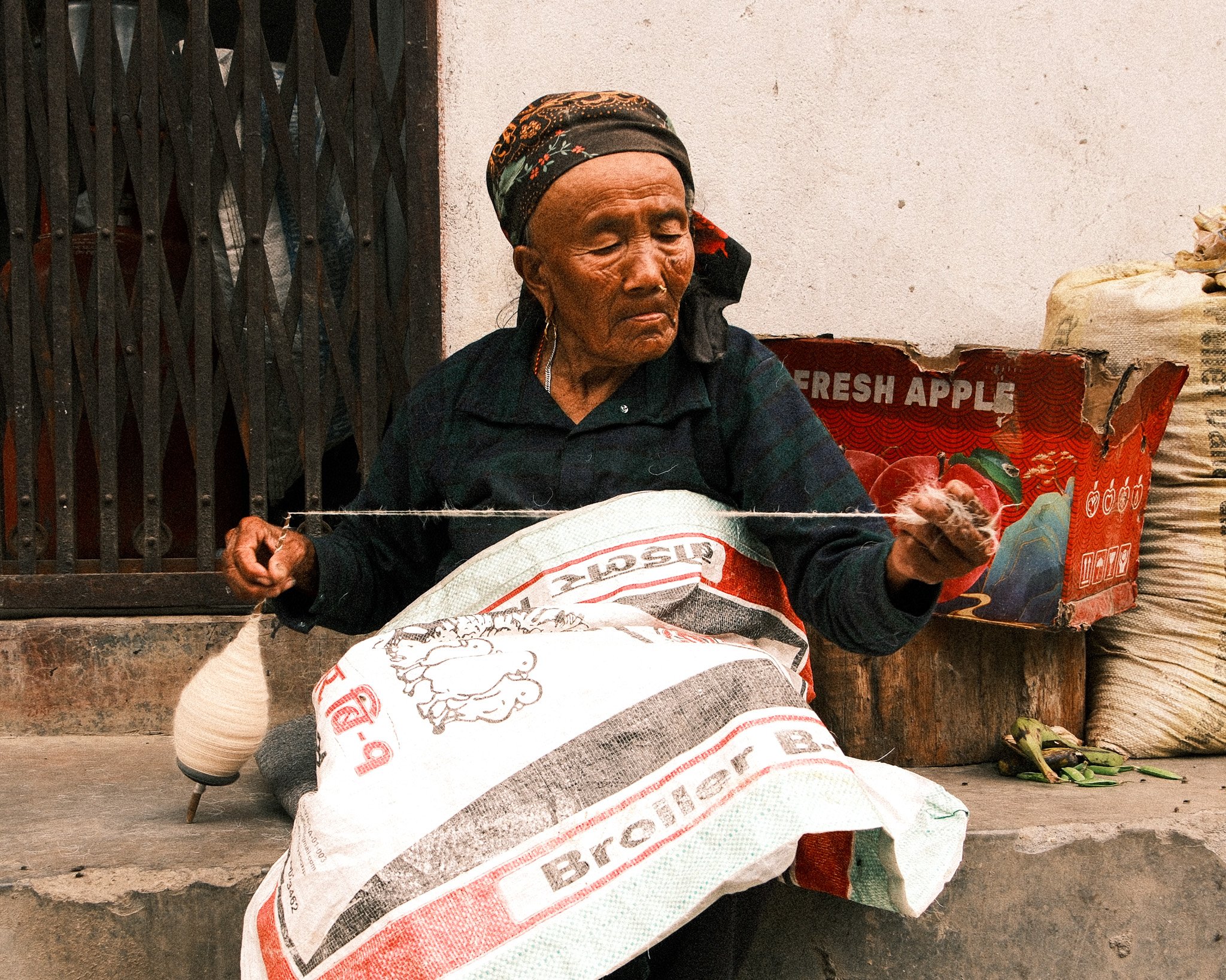
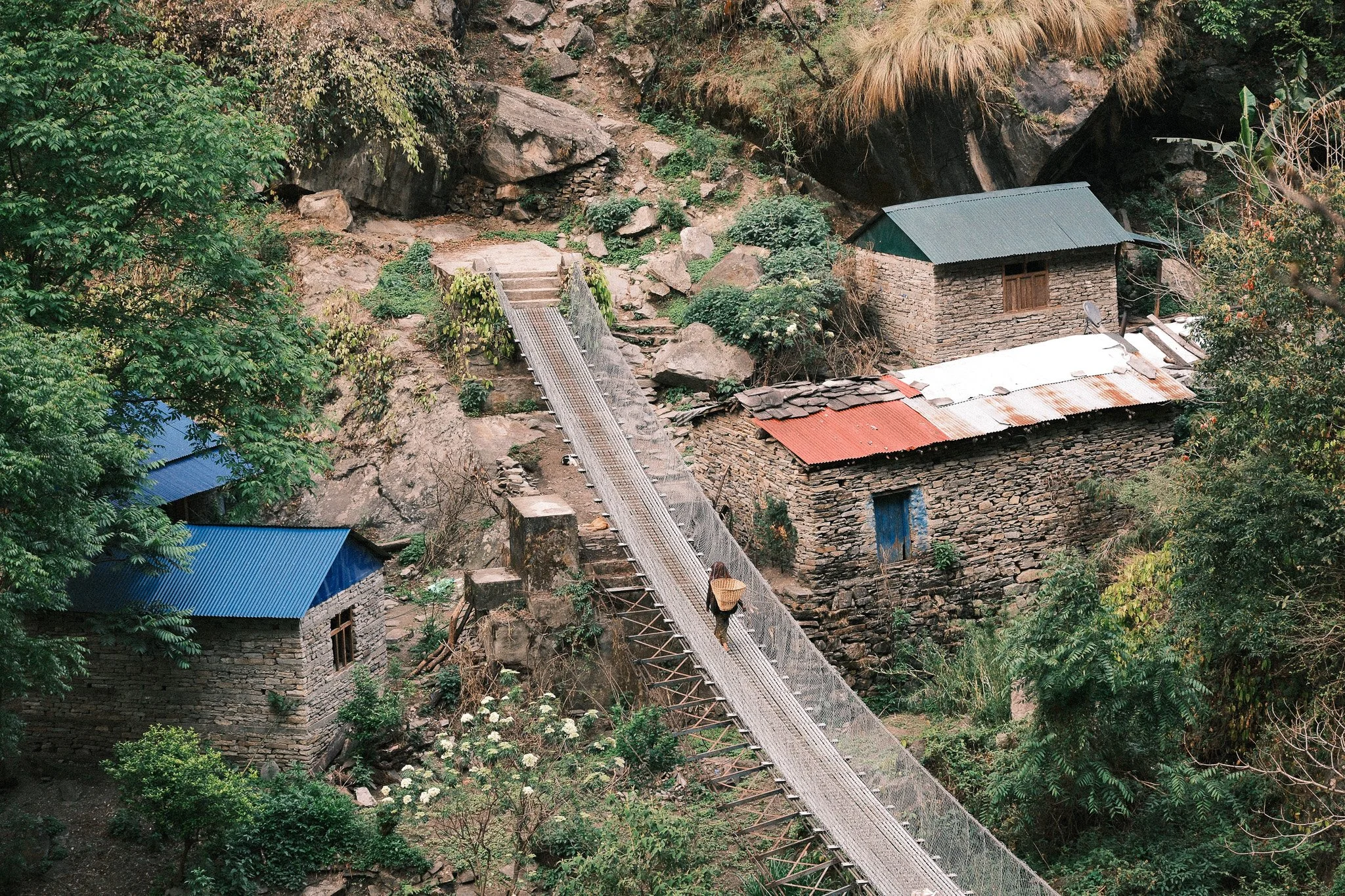
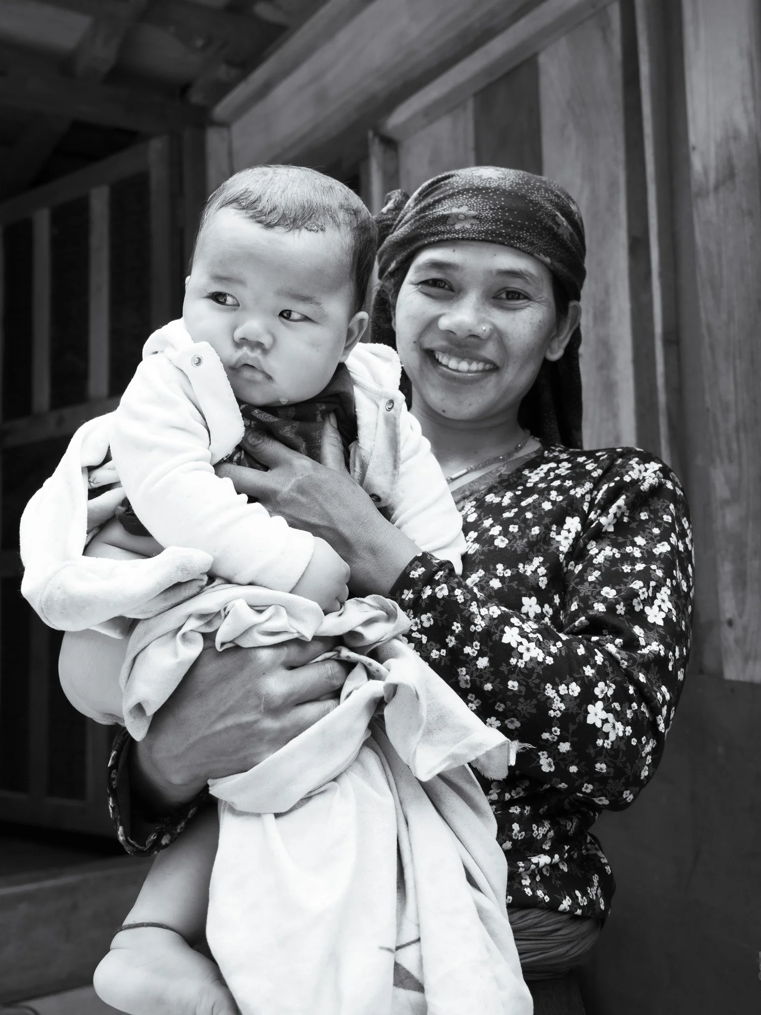
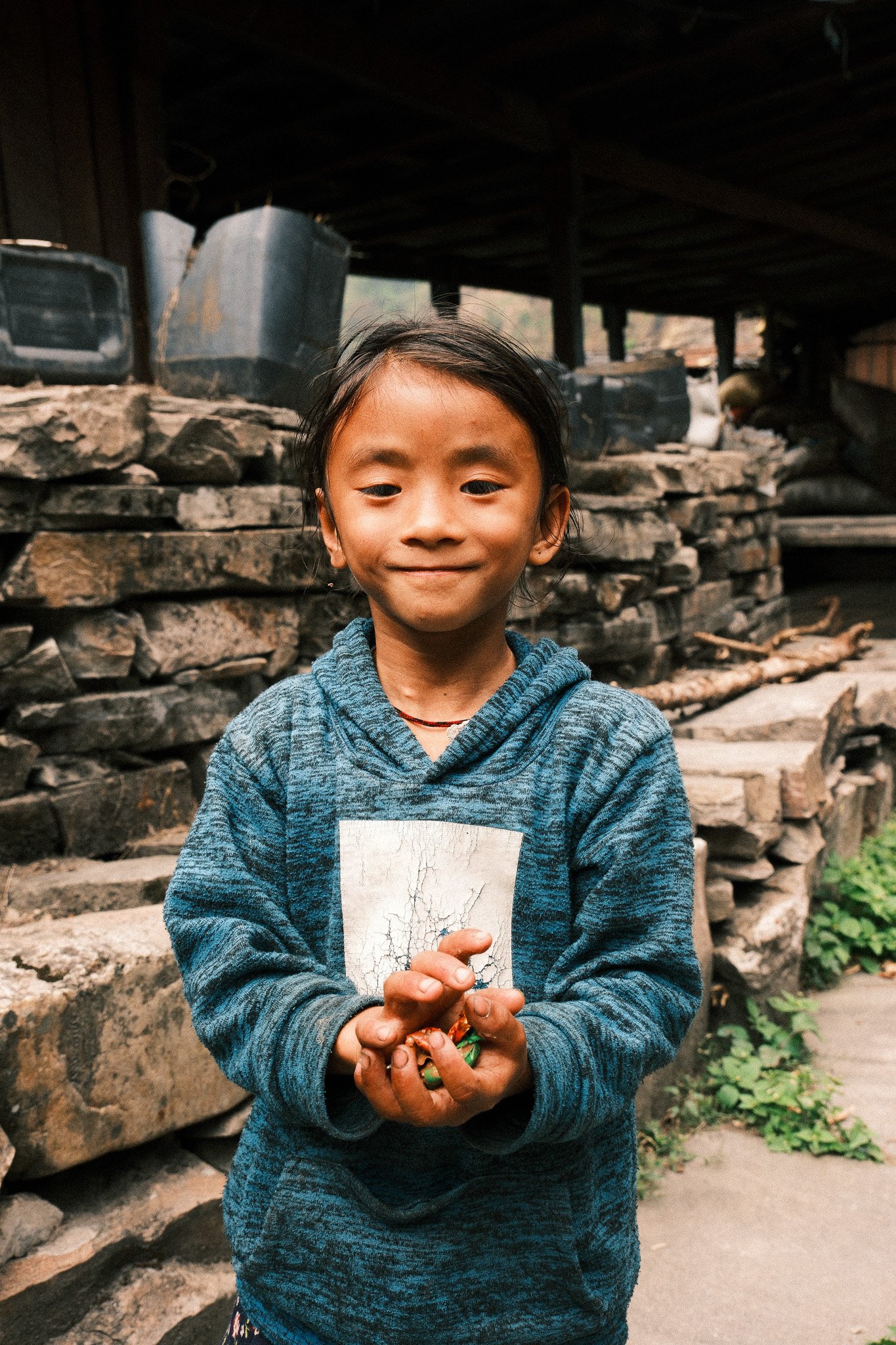
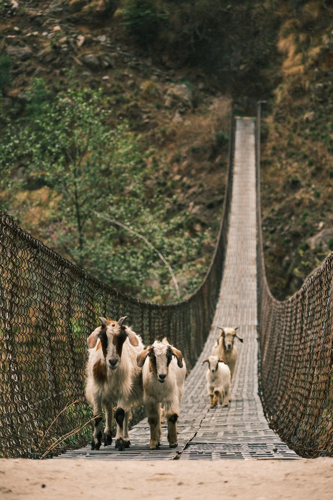
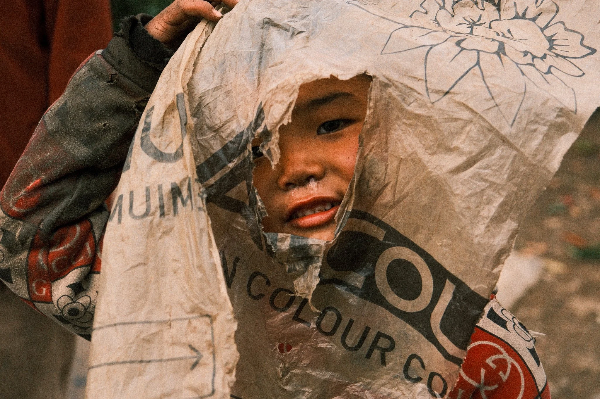
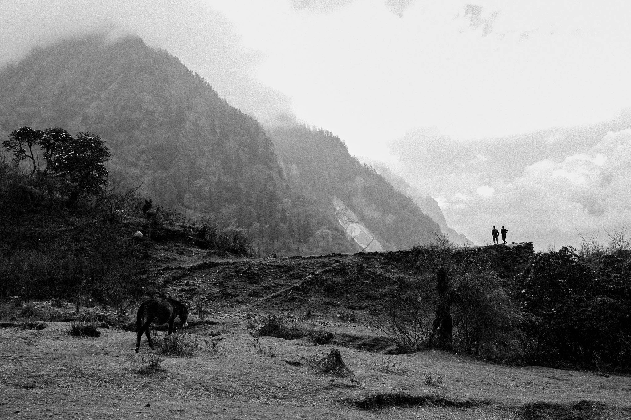
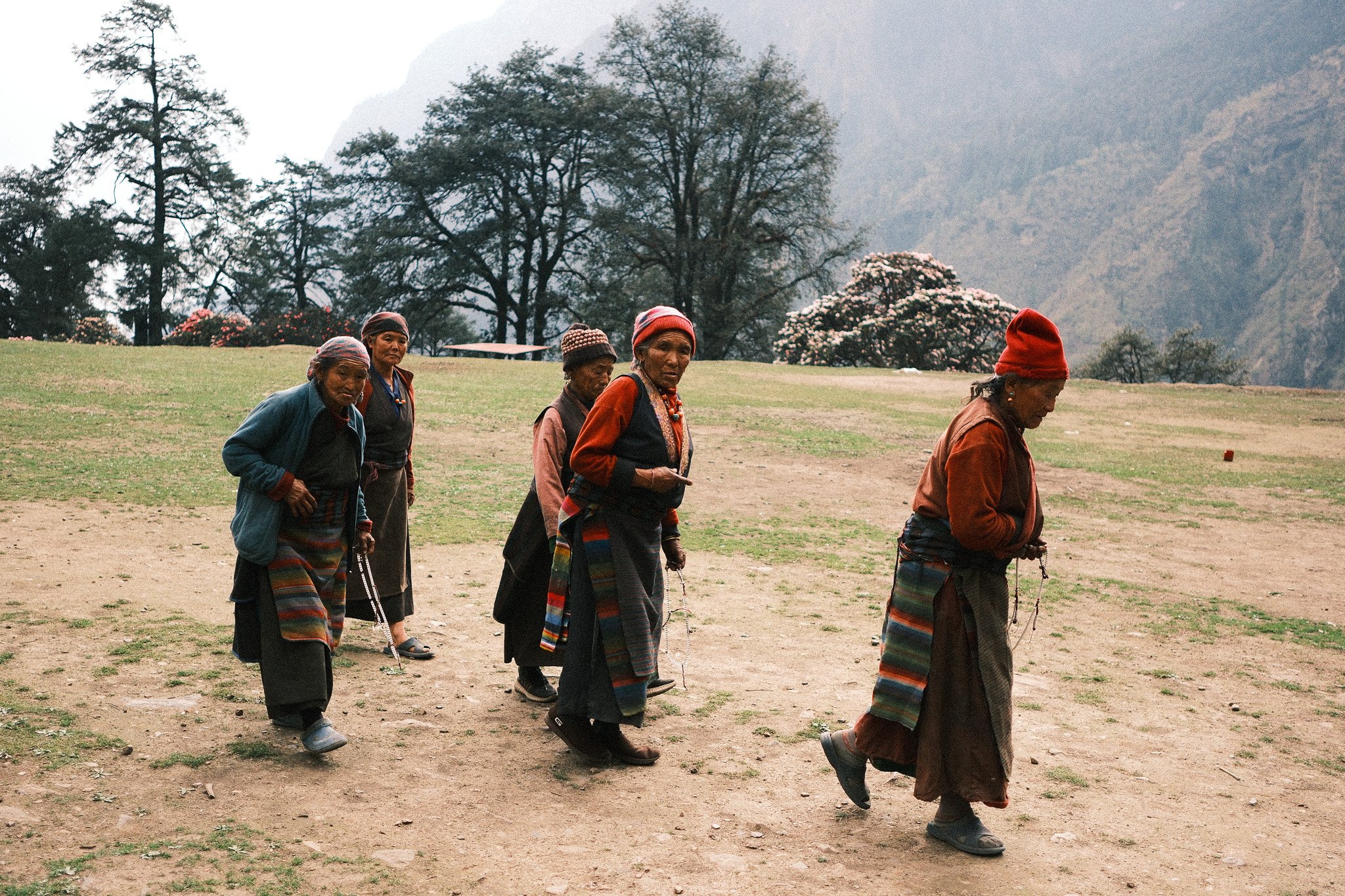
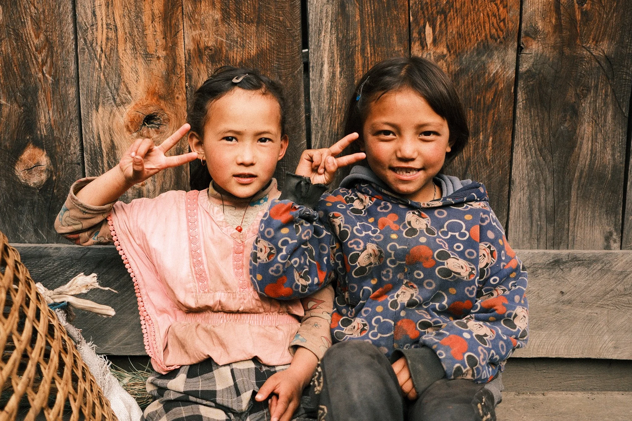
Lower Section – Green Valleys and River Crossings
The first few trekking days to Jagat and Deng are lower altitude, warmer, and greener.
Temperatures at lower elevations during trekking seasons usually sit around 10–20°C.
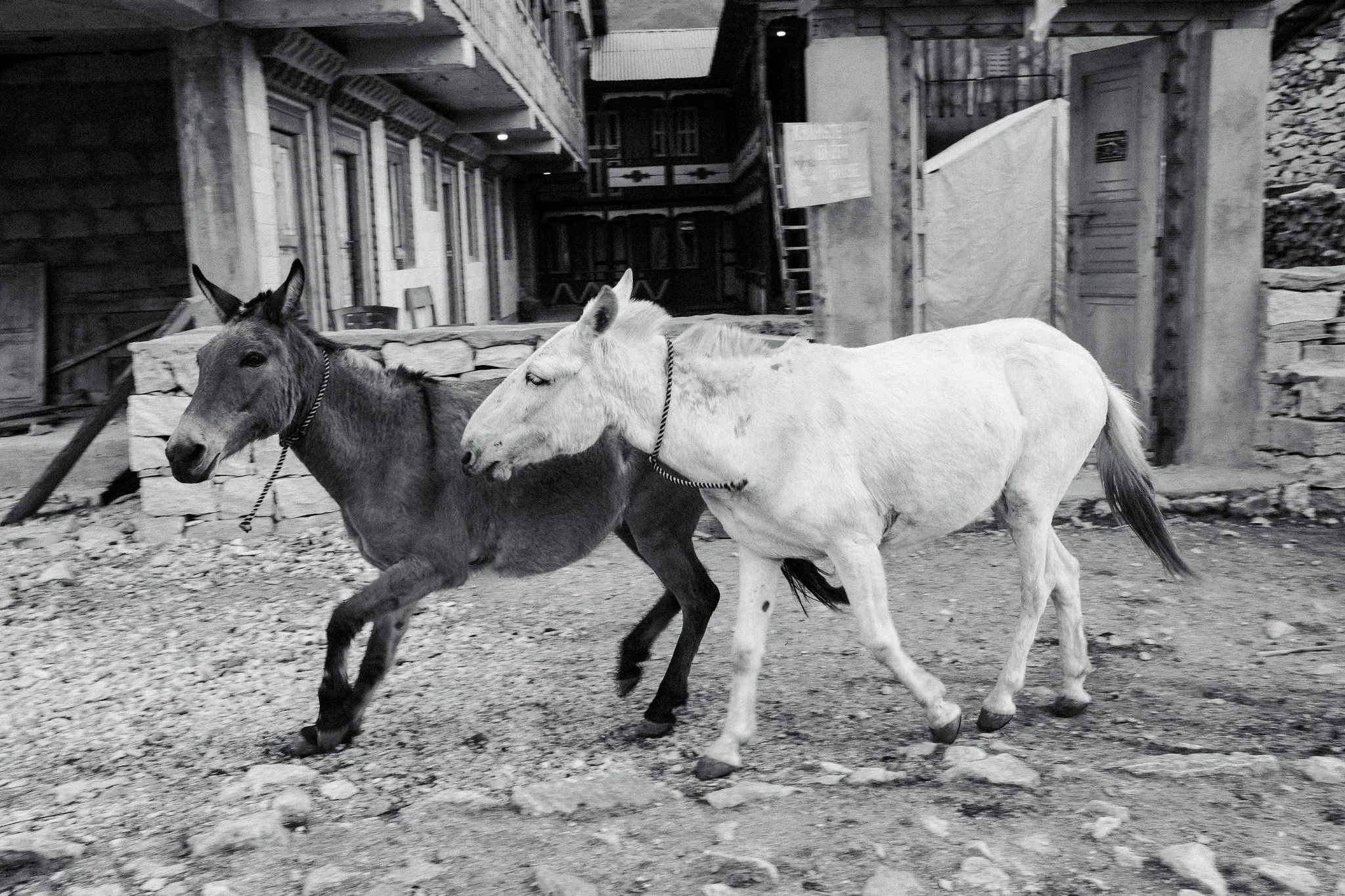
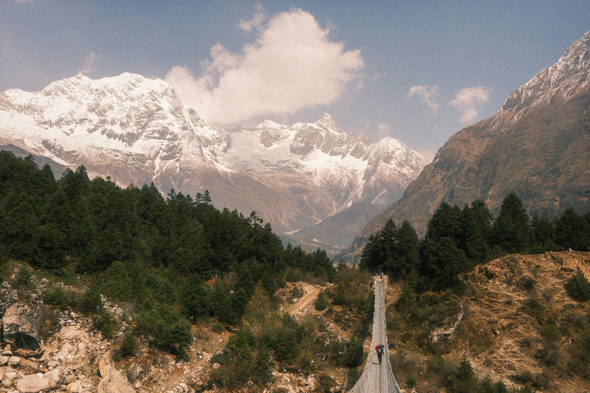
You walk along the Budhi Gandaki river, cross long suspension bridges, and pass through small settlements.
This section is good for:
Environmental shots of the trail
River valley compositions
People working in fields or around the villages
Tea house interiors
It’s not dramatic mountain scenery yet. It’s everyday Nepal, filled with lush greenery and peaceful scenes.
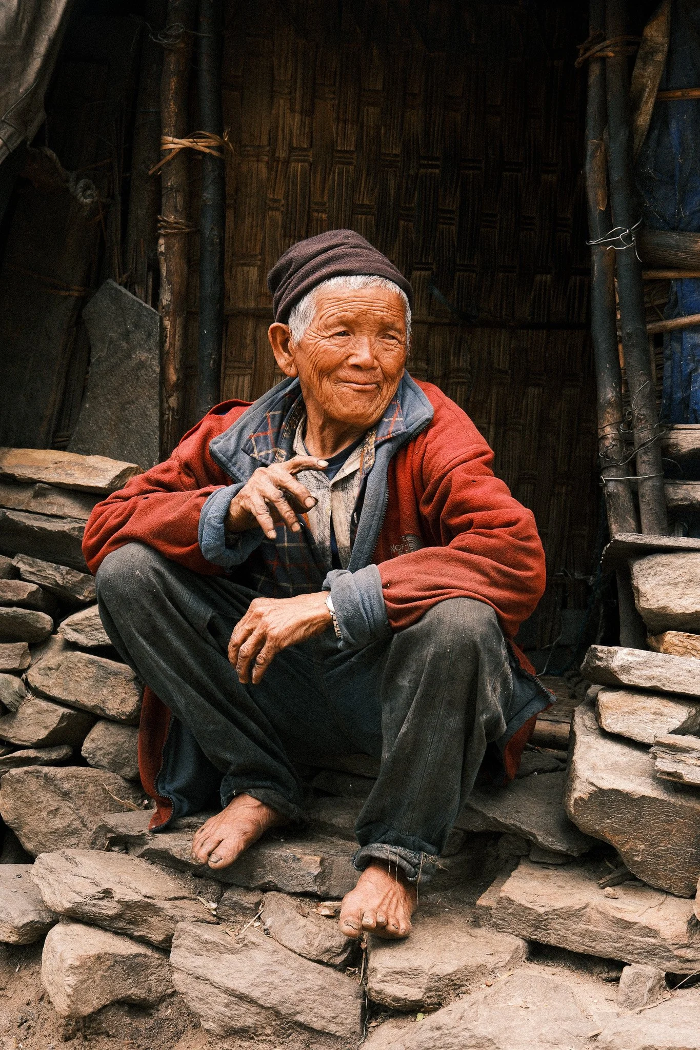
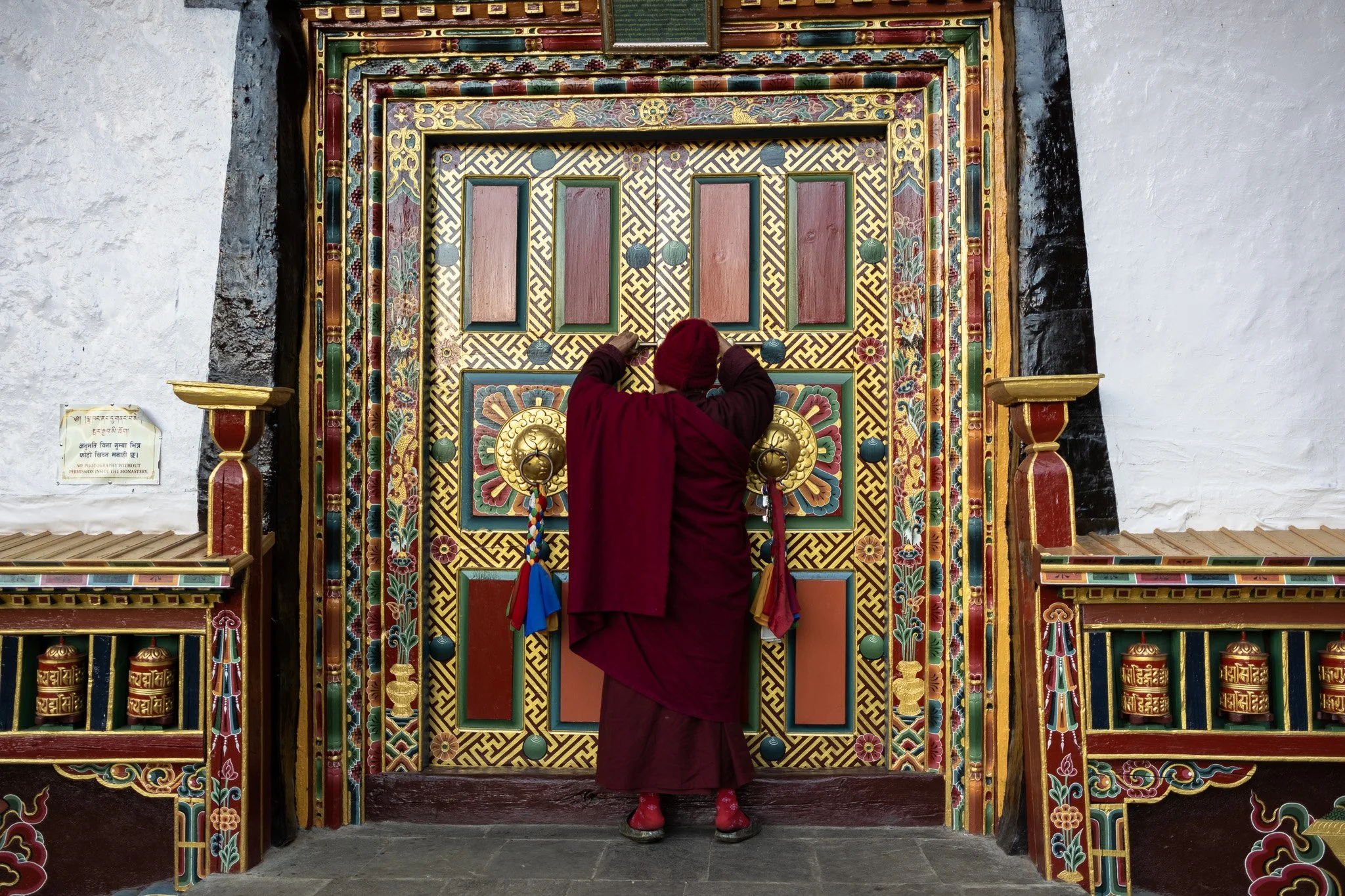
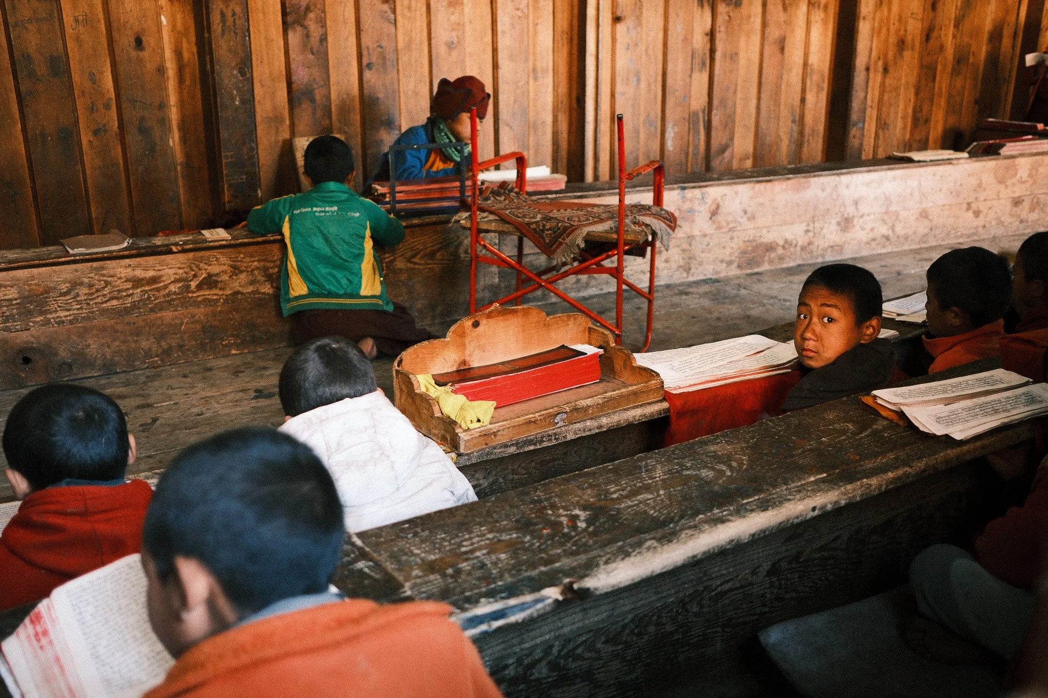
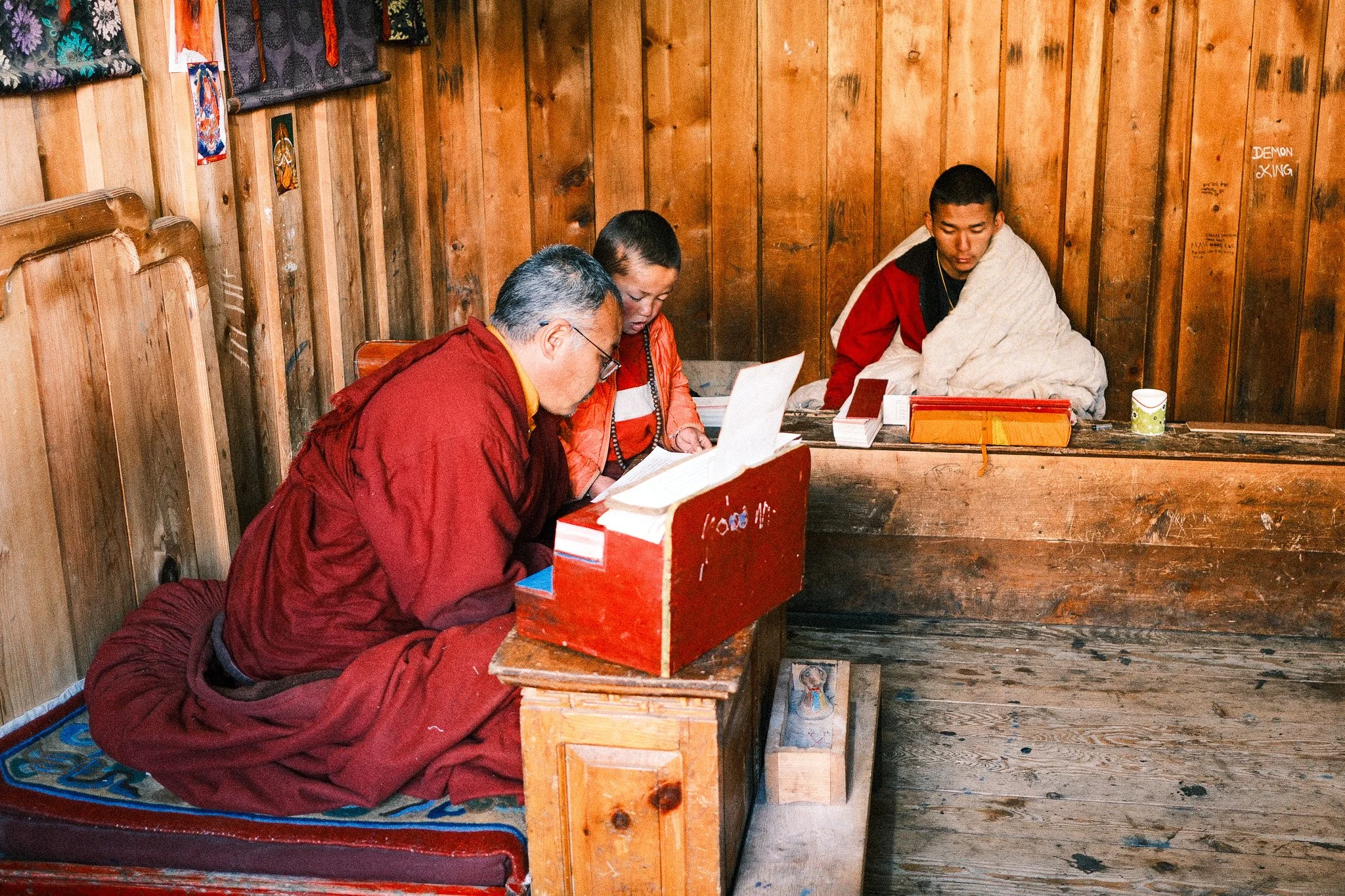
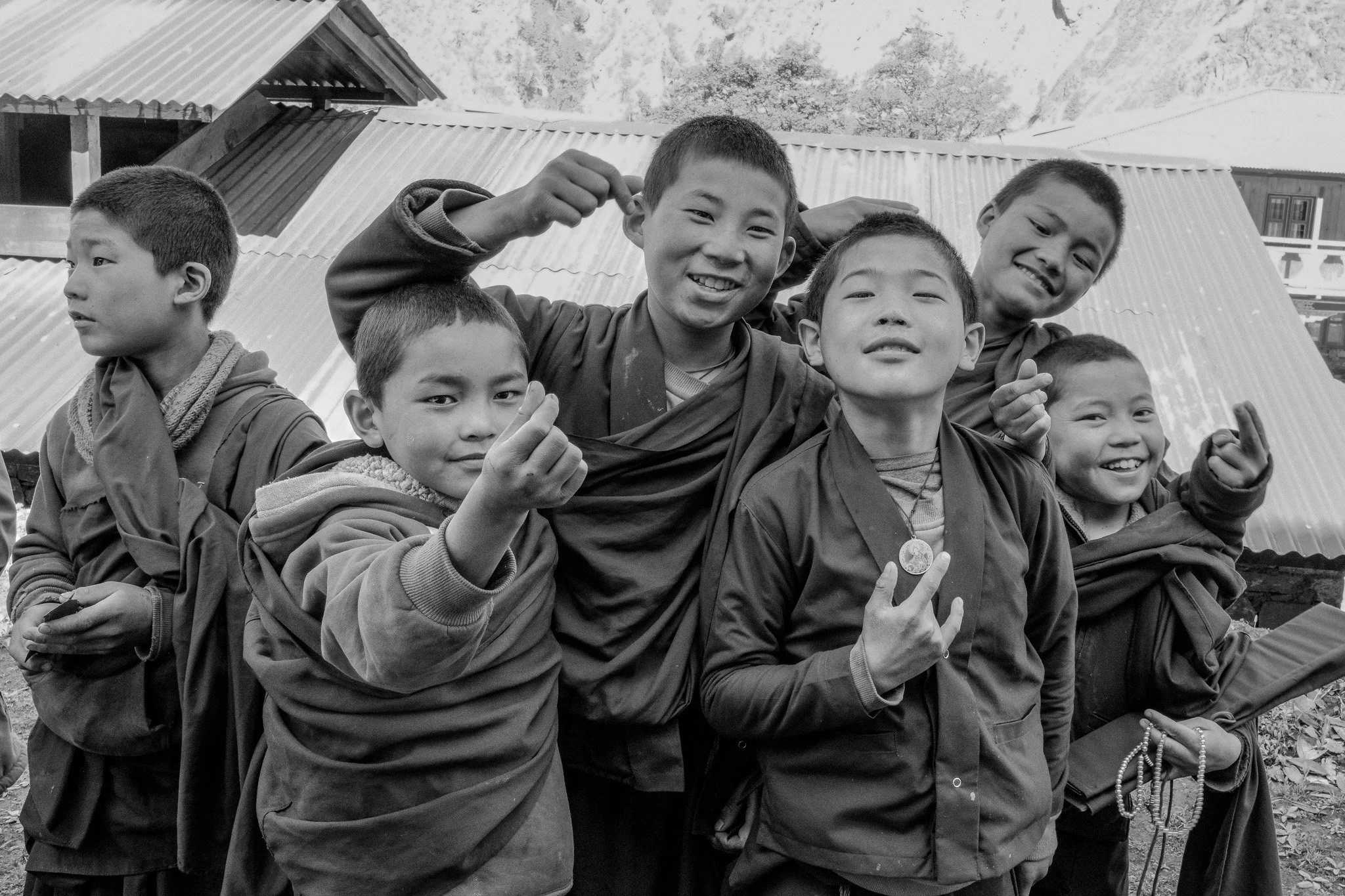
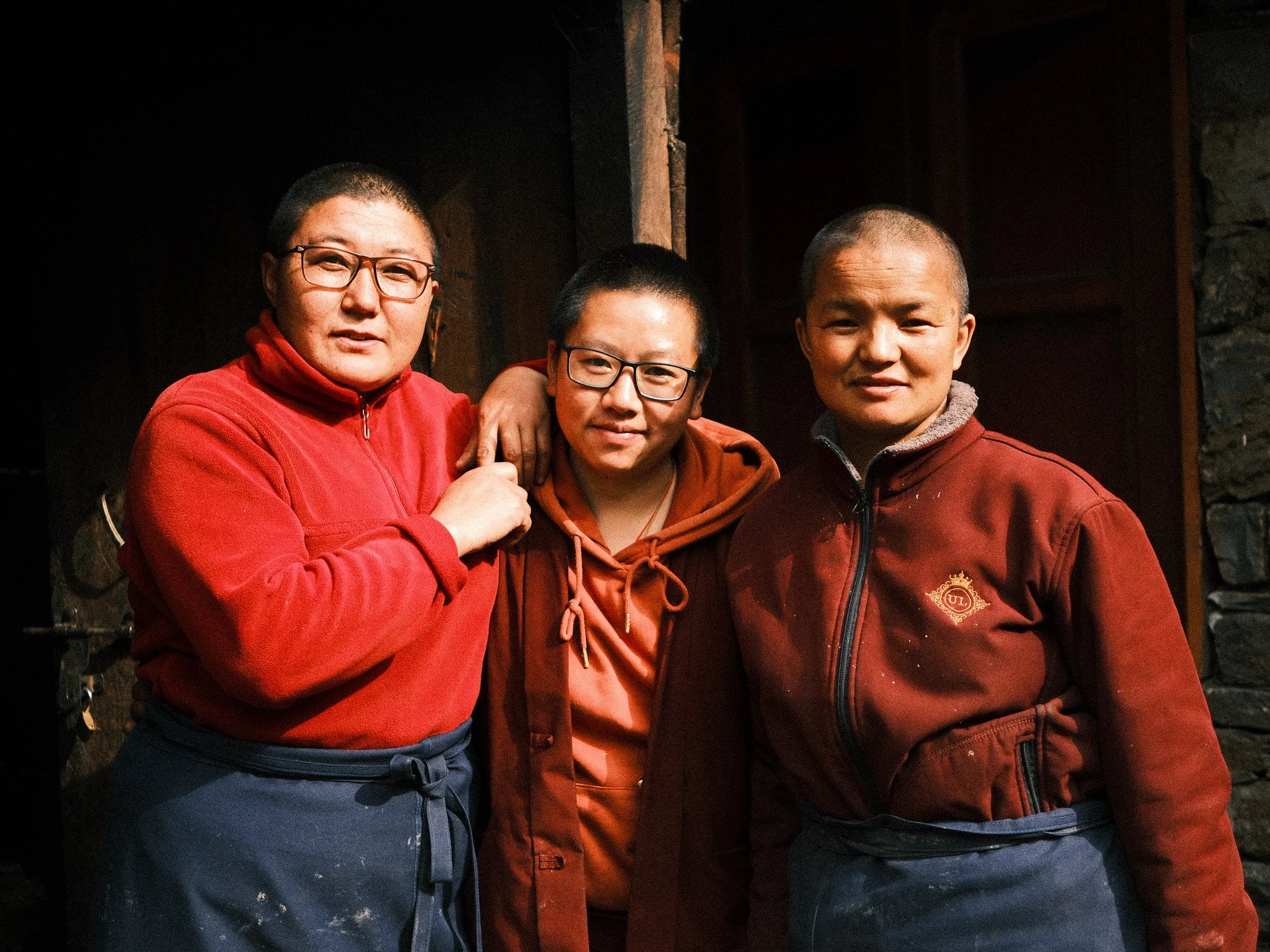
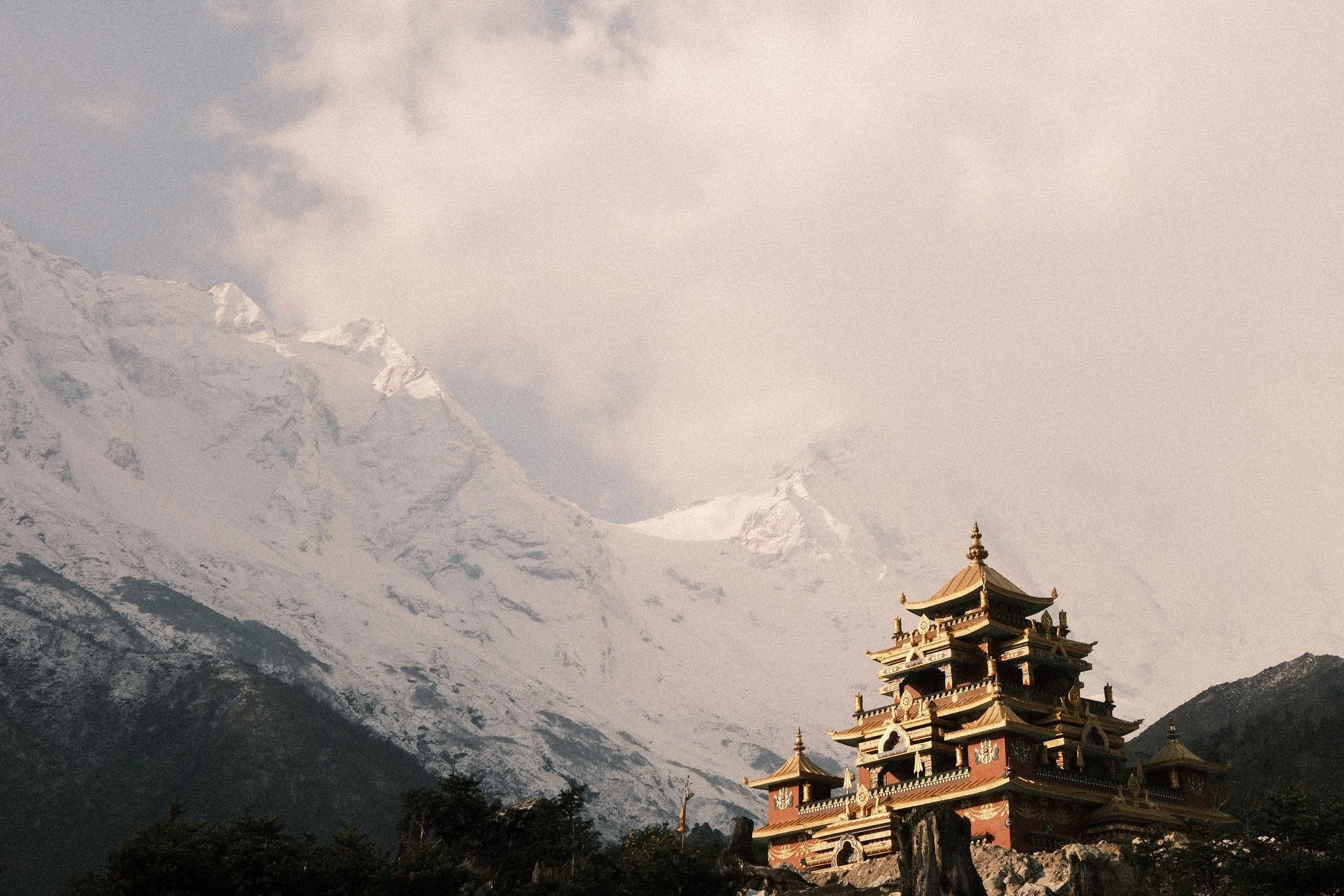
The Detour to Serang Monastery (3100m)
One part I appreciated was the detour to Serang Monastery.
You climb away from the main trail and stay overnight at around 3,100m. There’s also a full acclimatisation day there.
It’s quiet. Fewer trekkers. Wide views.
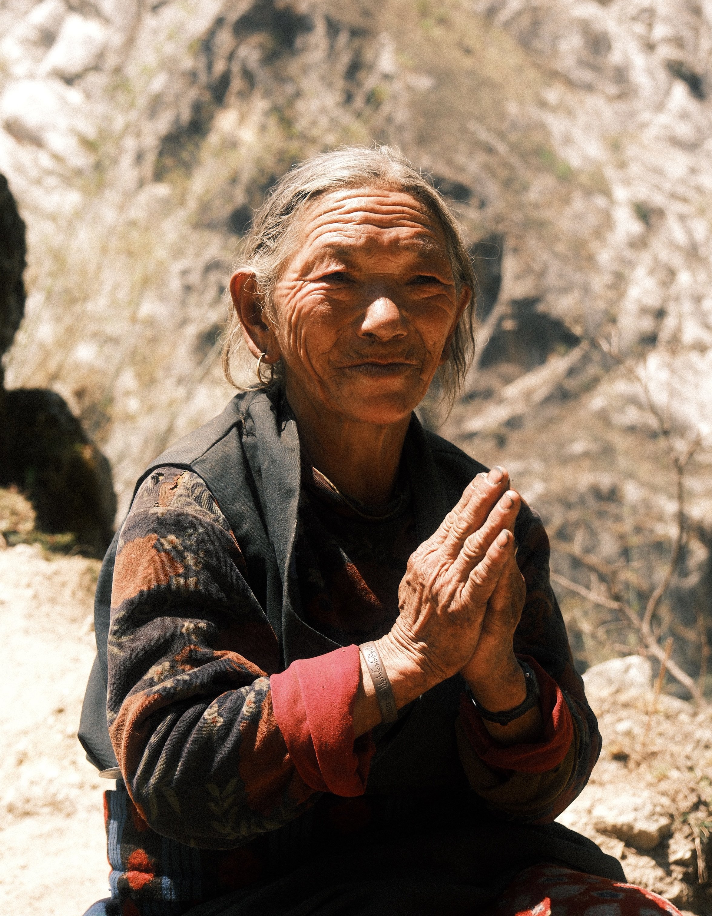
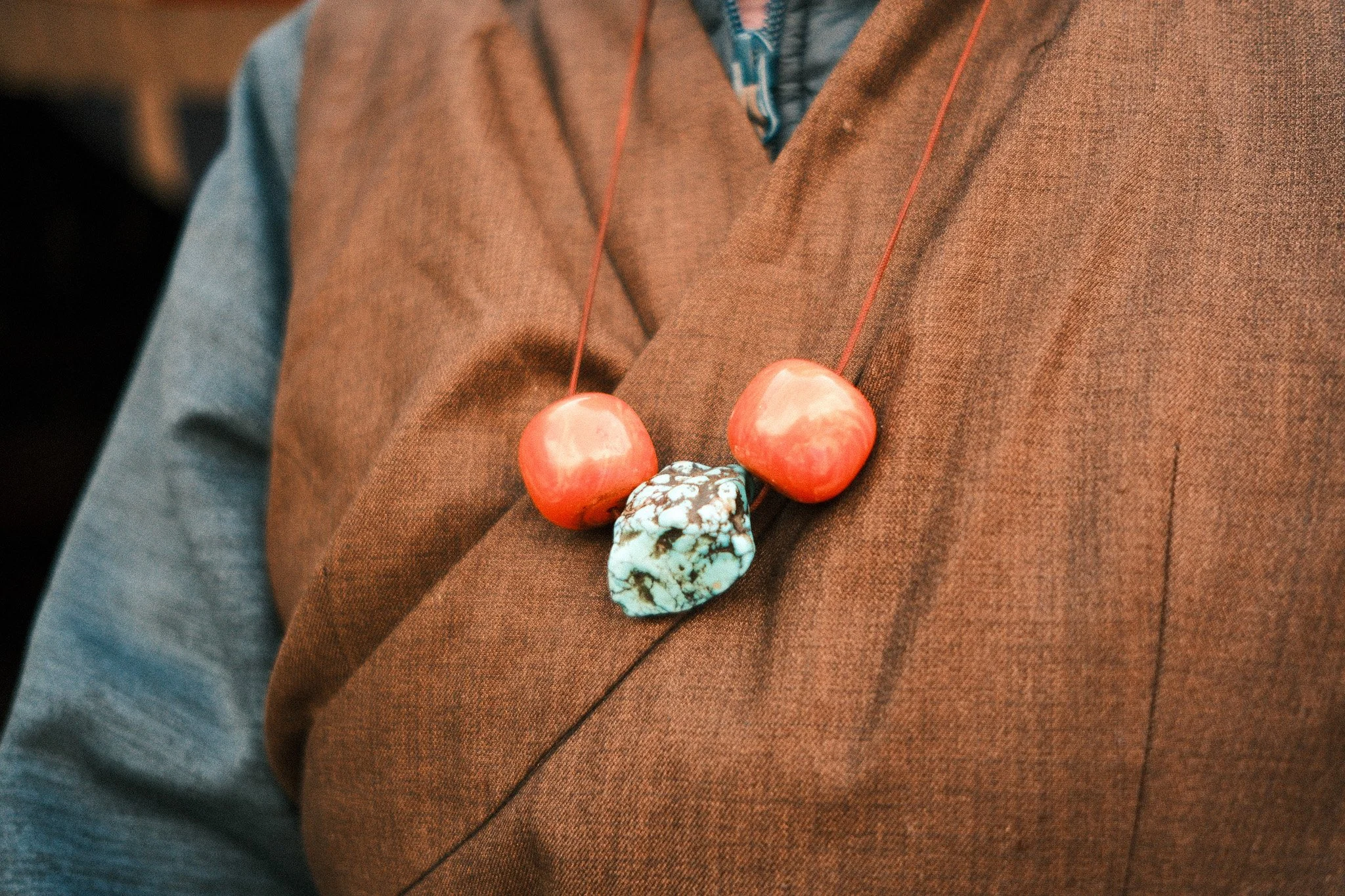
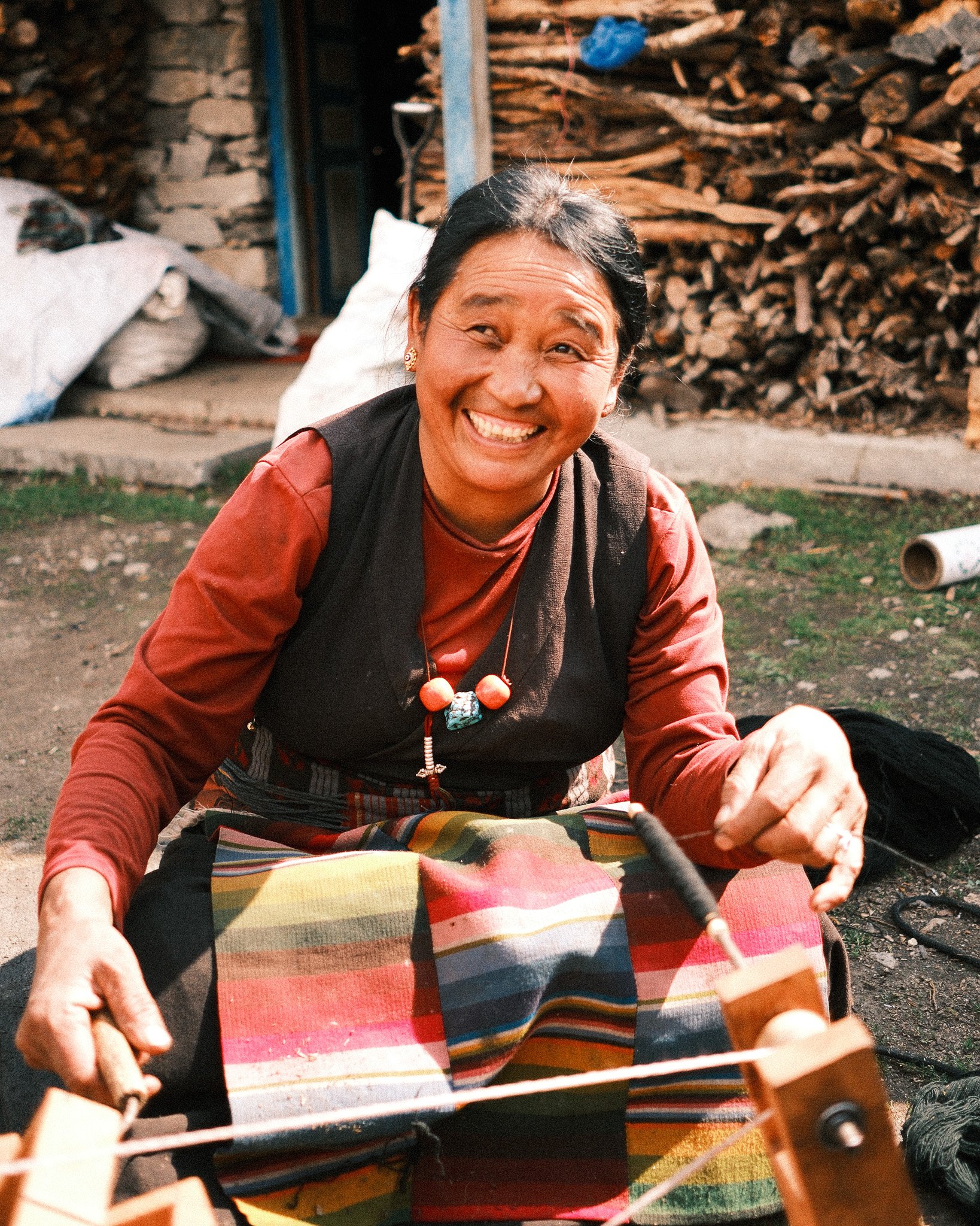
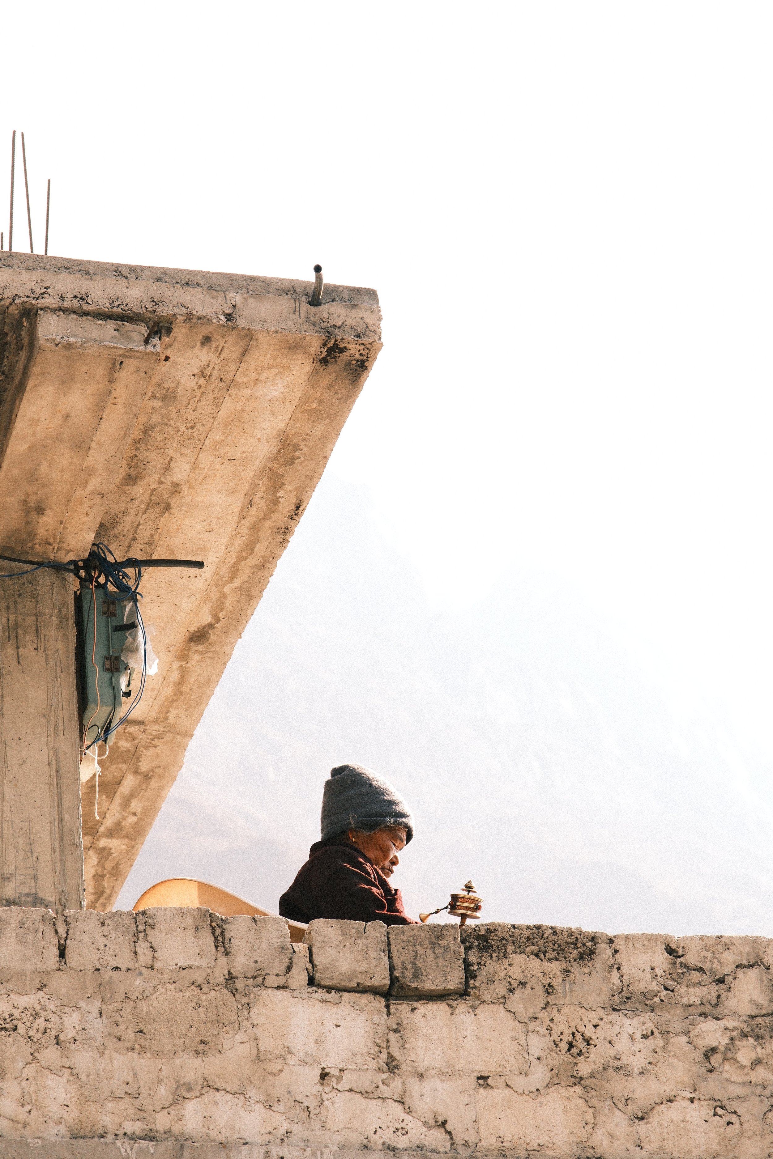
From a photography standpoint, this is a good place to slow down. Monastery details. Prayer flags. Portraits, if people are open to it.
No rush.
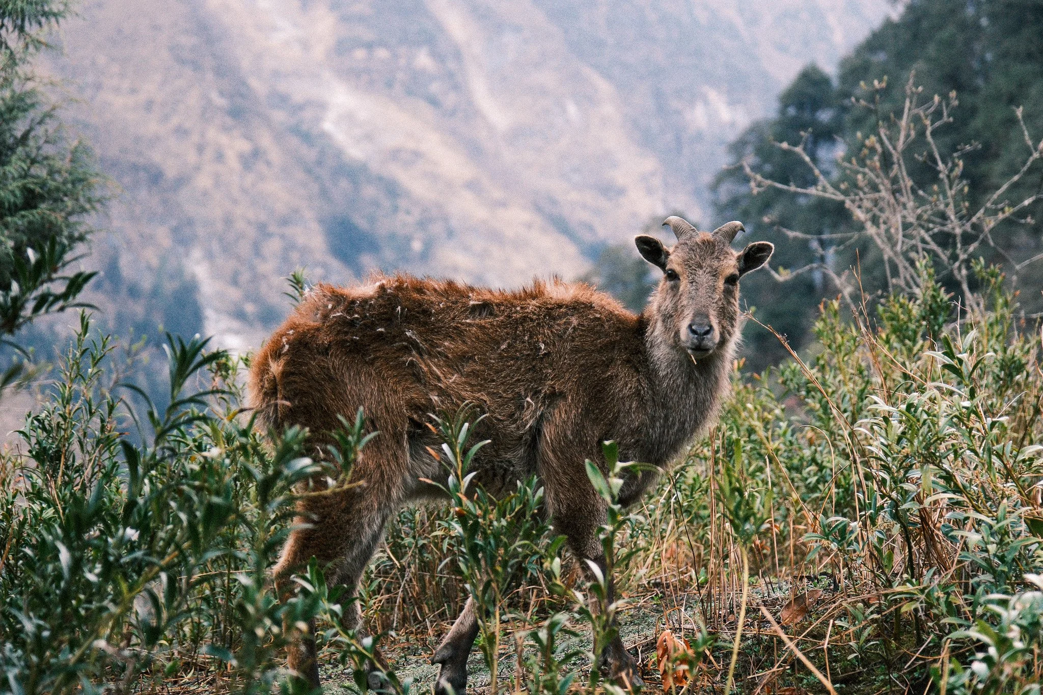
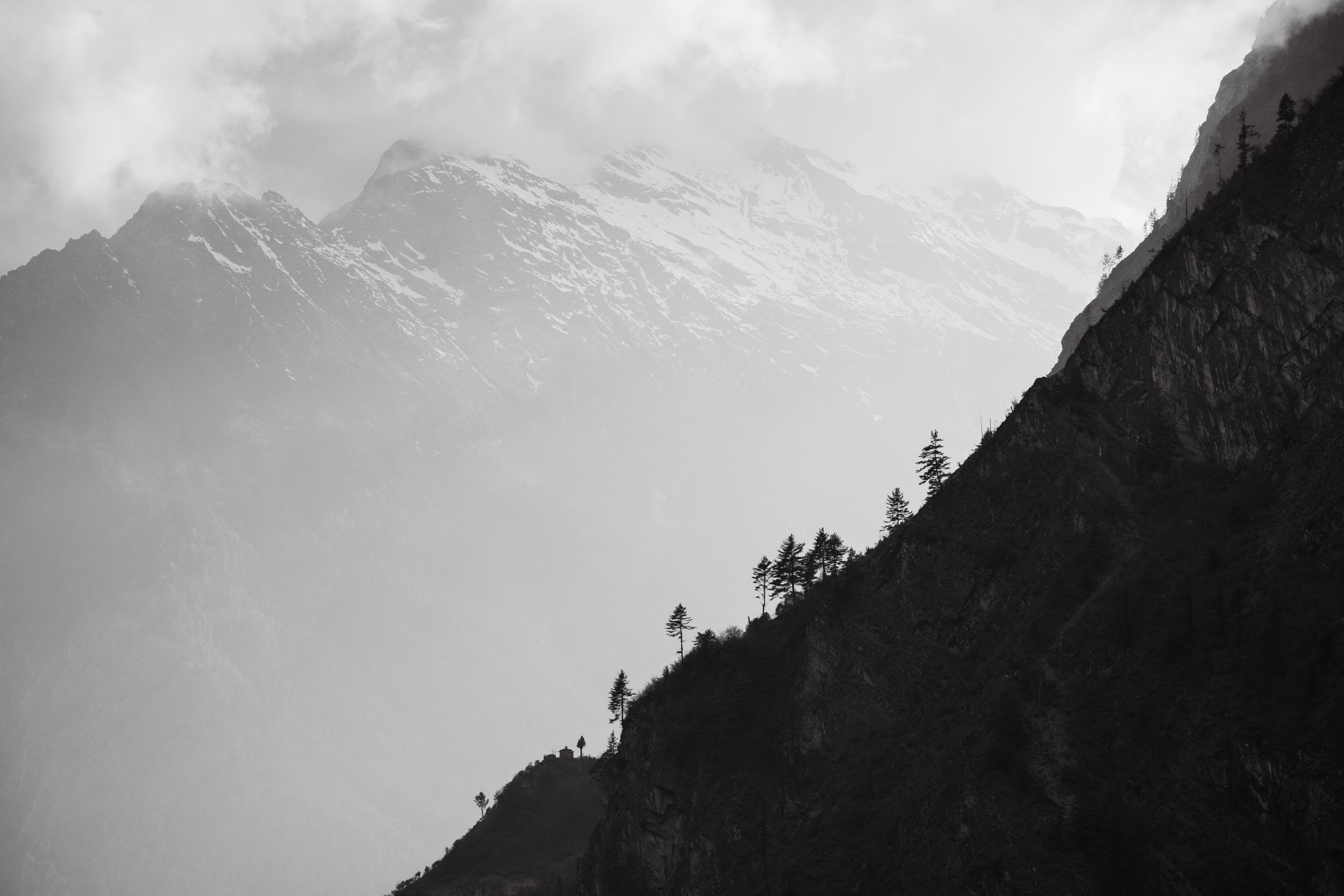
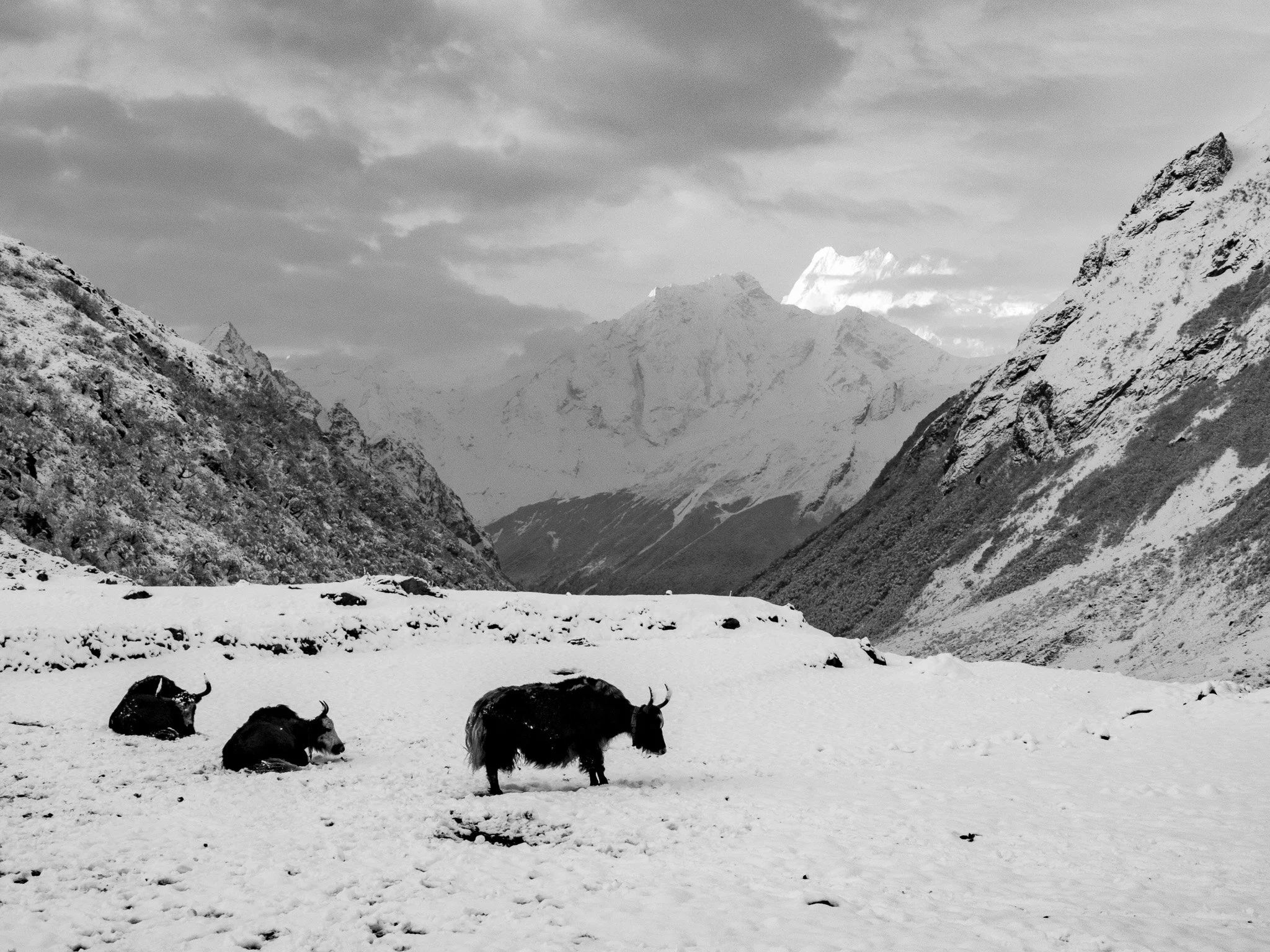
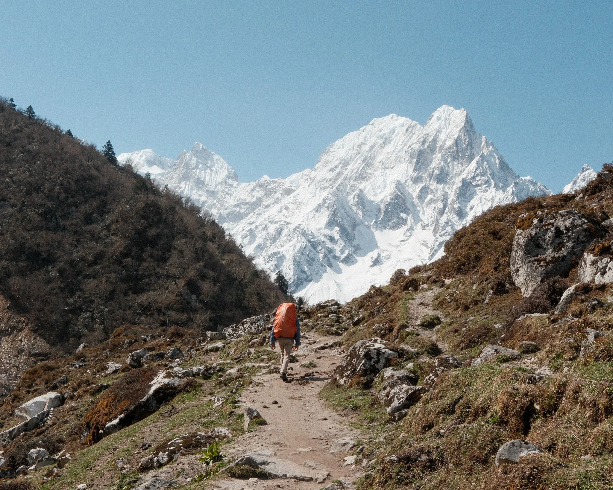
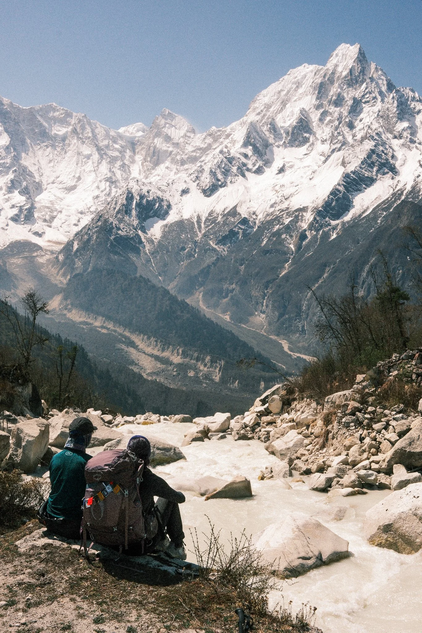
Lho and Sama Gaon – First Big Mountain Views
By the time you reach Lho (3180m) and Sama Gaon (3530m), the landscape starts to open up.
Mount Manaslu becomes visible. Snow appears on the surrounding peaks.
Day 9 includes a hike toward Manaslu Base Camp at 4,800m. Even if you don’t go all the way, you feel the altitude.
Here the photography changes naturally:
Less greenery
More rock and snow
Bigger skies
Cleaner compositions
You don’t need to force it. The landscape simplifies things for you.
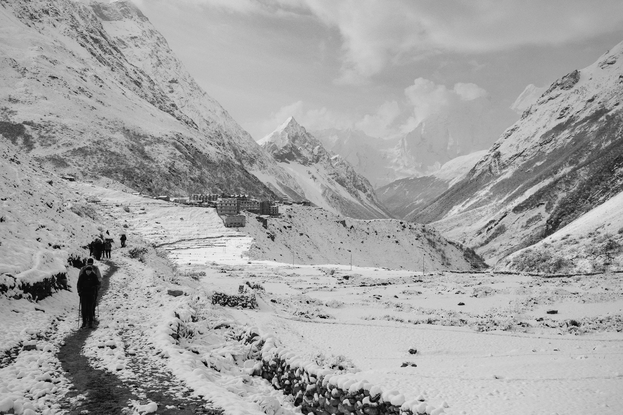
Samdo to Dharamsala – Preparing for the Pass
Samdo (3800m) and Dharamsala (4400m) are short walking days, but they’re important for acclimatisation.
There’s less vegetation. It feels more exposed.
Cold drains batteries faster here. Bring spares and keep them warm.
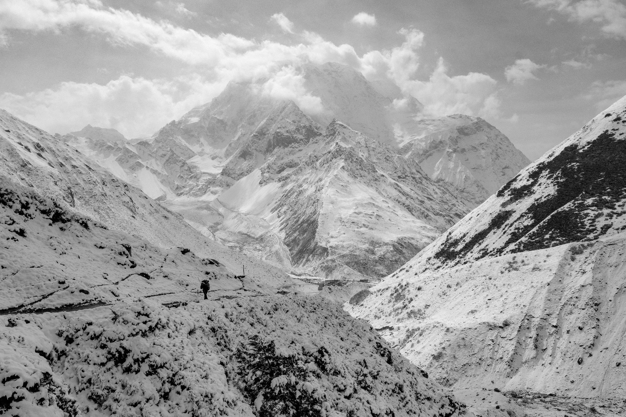
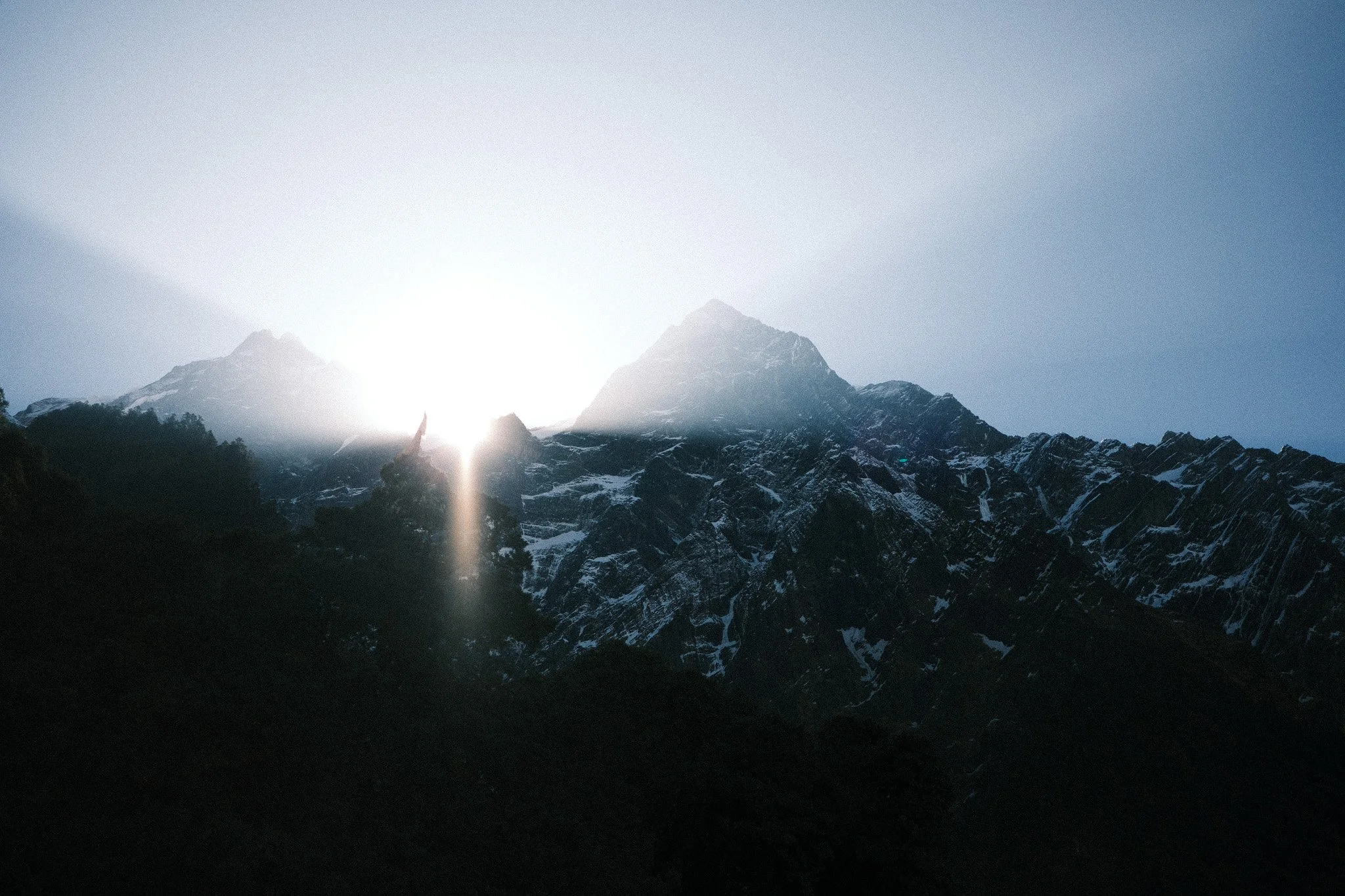
Larkya La Pass (5140m)
Crossing Larkya La at 5,140m is the longest and hardest day- It’s a 9–10 hour push to Bimthang.
From a photography perspective:
Early start
Strong contrast
Wind
Snow textures
Trekkers spread out across the slope
No adventure is without its challenges, and on this adventure I managed to pick up quite a bad illness at Dharamsala, so I was more focused on getting over the pass and down to Bimthang rather than documenting the journey on this day, however the minimal mountain valley scenes were stunning, and soft quiet atmosphere around the pass and down to Bimthang was really memorable.
Bimthang and the Descent
Bimthang (3890m) opens into a wide valley surrounded by peaks.
After that, the trail descends to Dharapani (1860m) and joins the Annapurna Circuit section.
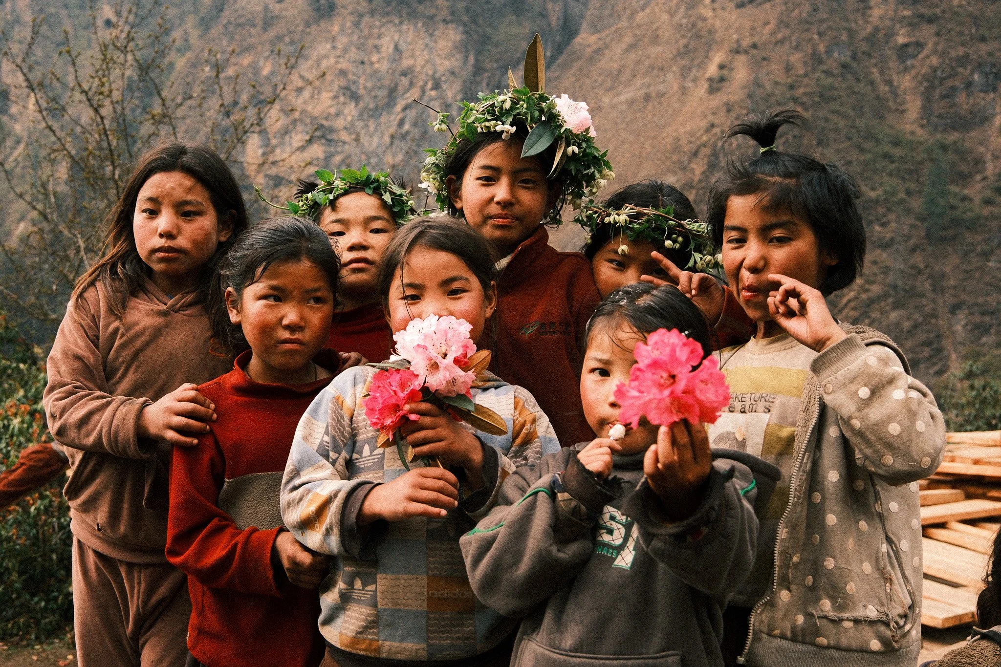
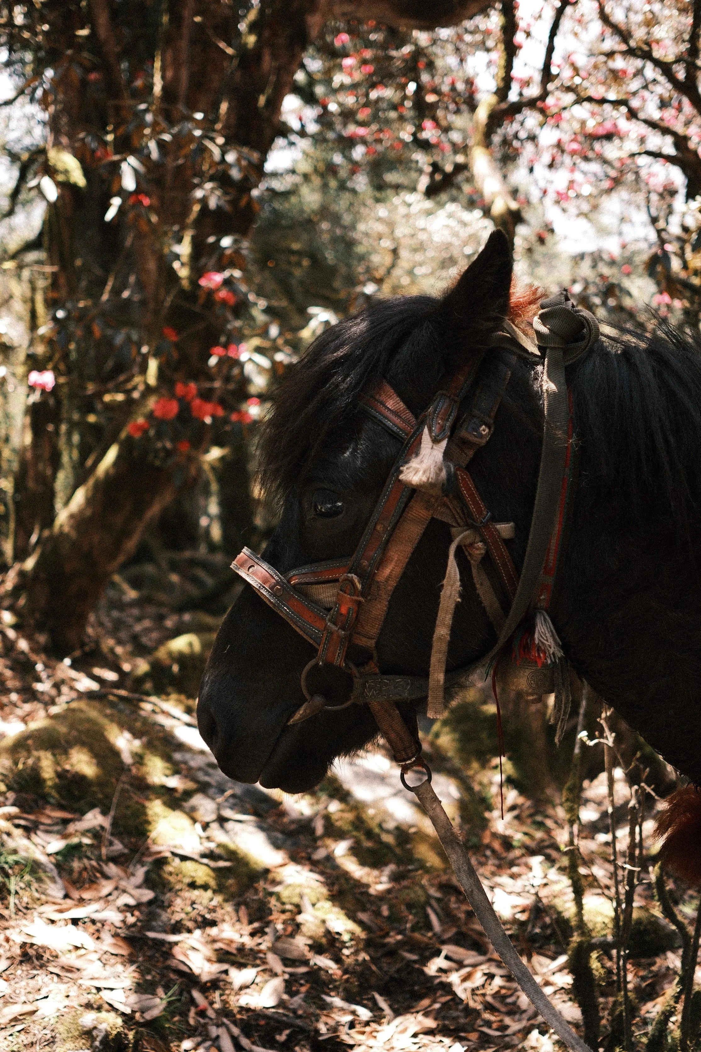
If you’re there in spring, you’ll pass through rhododendron forests. After days of rock and snow, the colour feels almost surprising.
It brings the trek full circle. Green again.
A Note on Guiding and Photography Support
I did this trek with Explore Hub Nepal, and they guided the full 15-day route smoothly and professionally. Everything from permits to transport and accommodation was handled clearly, which made it easier to focus on the experience itself.
A special mention to Udaya, who understood that I wasn’t just trekking, I was documenting the place and the culture. He was patient when I needed extra time for light, helped set up portraits with local people when appropriate, pointed out strong viewpoints, and was aware of what a photographer needs on a long route like this. That made a real difference.
If you’re planning the Manaslu Circuit trek photography-wise, having a guide who understands that side of things helps more than you might expect.
Final Thoughts
The Manaslu Circuit trek is so good for photography because of the progression that you get throughout the trek.
You start in Kathmandu, surrounded by noise and movement. You move into river valleys and small villages. You gain altitude slowly, the landscape becomes more open, and eventually you cross Larkya La at 5,140m. Then you descend back into forest and join the Annapurna section.
Over 15 days, the environment changes step by step. So does your pace and your awareness.
From a photography perspective, that variety is what makes it strong. Street scenes, village life, monasteries, high-altitude terrain, portraits, wide landscapes. You don’t need to force images.
It’s not the easiest trek in Nepal, but it’s manageable with preparation. And it’s far less crowded than some of the more famous routes.
If you’re interested in the Manaslu Circuit trek for photography, not just for ticking off a pass, it offers enough depth to keep you engaged the entire way.
Get in touch and let me know what you think of the photos, and if you have any questions!